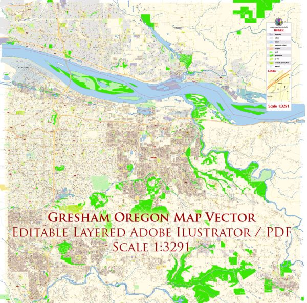
Gresham, Oregon, is a city located in Multnomah County, in the Portland metropolitan area. Its history of urban development reflects broader trends in the region, shaped by factors such as transportation, industry, and population growth. Here is an overview of the history of urban development in Gresham:
- Early Settlement (1800s): The area that is now Gresham was initially inhabited by indigenous peoples. European-American settlement began in the mid-1800s with pioneers establishing farms and logging operations. The region’s fertile soil and access to natural resources contributed to its early growth.
- Railroad Expansion (1880s): The arrival of the railroad in the late 19th century played a pivotal role in the development of Gresham. The Oregon Railroad and Navigation Company extended its line through the area, facilitating the transportation of goods and people. This increased connectivity spurred economic development and attracted more settlers.
- Incorporation and Growth (1905): Gresham was officially incorporated as a city in 1905. During this time, the city’s economy continued to be driven by agriculture, timber, and related industries. The proximity to Portland also played a role in Gresham’s growth, as it became a commuter suburb for those working in the larger city.
- Post-War Expansion (1940s-1950s): Like many American cities, Gresham experienced significant growth in the post-World War II era. The population increased, and suburban development became a prominent trend. The availability of land, improved transportation infrastructure, and the desire for single-family homes contributed to the suburbanization of Gresham.
- Commercial and Residential Development (1960s-1980s): During the 1960s and 1970s, Gresham saw increased commercial development, with shopping centers and businesses establishing themselves in the area. The city continued to expand residentially, with new neighborhoods and housing developments accommodating the growing population.
- Diversification of Economy (1990s-2000s): In the late 20th century and early 21st century, Gresham’s economy diversified beyond its traditional reliance on agriculture and timber. The city attracted a variety of industries, including technology, manufacturing, and healthcare. This diversification helped Gresham weather economic changes and contributed to its resilience.
- Urban Renewal and Planning (2000s-present): The city has engaged in various urban renewal projects and planning initiatives to enhance its livability and economic vibrancy. Efforts have been made to revitalize downtown areas, promote mixed-use developments, and improve infrastructure.
Gresham’s history of urban development reflects the broader evolution of cities in the United States, with phases of agricultural and industrial growth, suburbanization, and efforts to adapt to changing economic landscapes. Today, Gresham continues to be a dynamic part of the Portland metropolitan area, with a mix of residential, commercial, and industrial elements contributing to its character.


 Author: Kirill Shrayber, Ph.D. FRGS