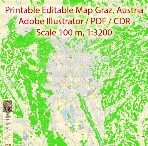
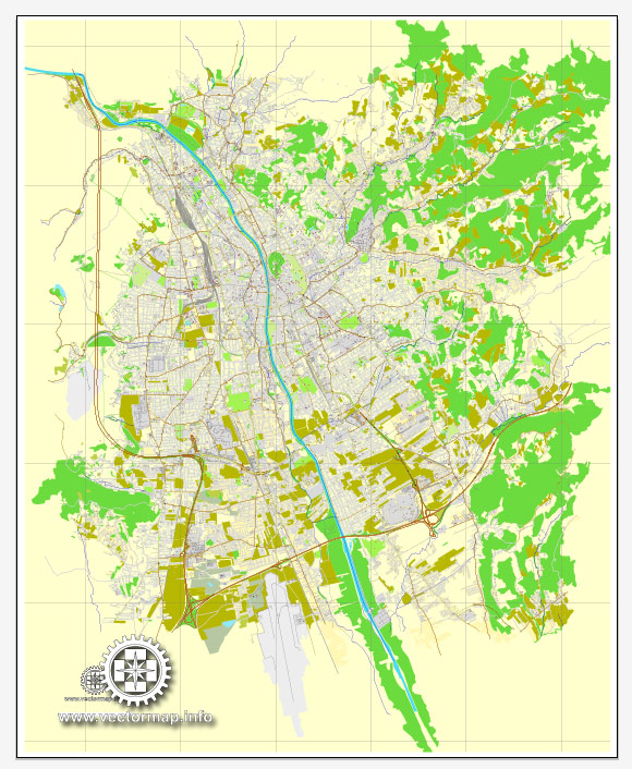
Graz, the capital city of Styria in Austria, has a rich history of urban development that spans centuries. Here is a brief overview of Graz’s history of urban development:
- Medieval Period (11th-15th centuries):
- Graz was founded in the 12th century by Duke Otakar III of Styria. It initially developed as a market town located at the intersection of several trade routes.
- The town grew around the Schlossberg (Castle Hill), where a fortress was built to protect the settlement.
- In 1379, Graz became the capital of Inner Austria under the Habsburgs, leading to increased economic and political importance.
- Renaissance and Baroque Period (16th-18th centuries):
- Graz experienced significant growth and architectural development during the Renaissance and Baroque periods.
- The city expanded beyond its medieval walls, and prominent structures, such as the Landhaus (Styrian Parliament), were built.
- The Cathedral and Mausoleum of Ferdinand II are notable examples of Baroque architecture in Graz.
- 19th Century:
- Graz continued to evolve in the 19th century with the demolition of medieval walls and the construction of new neighborhoods.
- Industrialization had an impact on the city’s growth and led to the establishment of new factories and infrastructure.
- 20th Century:
- Graz faced challenges during World War II, including bombings that damaged parts of the city.
- After the war, reconstruction efforts focused on modernizing the city while preserving its historical character.
- The preservation of the Old Town (Altstadt) became a priority, and Graz was recognized as a UNESCO World Heritage Site in 1999.
- Contemporary Period:
- In recent decades, Graz has embraced modern architecture and urban planning.
- The city has become a hub for cultural events, education, and research, with the presence of the University of Graz and other institutions.
- Graz was designated the European Capital of Culture in 2003, further highlighting its commitment to the arts and cultural development.
- Urban Planning and Design:
- Graz features a mix of historic and contemporary architecture, creating a unique urban landscape.
- The Mur River flows through the city, and the Murinsel, an artificial island designed by Vito Acconci, is a modern architectural highlight.
- Graz has implemented sustainable urban development strategies, including pedestrian zones and public transportation initiatives.
Throughout its history, Graz has managed to blend its medieval charm with modern developments, making it a city that reflects both its rich heritage and a commitment to innovation.


 Author: Kirill Shrayber, Ph.D. FRGS