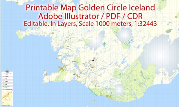
General overview of the history of urban development in the Golden Circle region of Iceland. The Golden Circle is a popular tourist route in southern Iceland, known for its stunning natural landscapes and historical sites. The main stops on the Golden Circle typically include Thingvellir National Park, Geysir Geothermal Area, and Gullfoss Waterfall.
- Thingvellir National Park:
- Historical Significance: Thingvellir holds immense historical and cultural importance for Icelanders. It is the site of the Althing, one of the world’s oldest parliaments, established in 930 AD. The Althing served as the legislative and judicial assembly for the Icelandic Commonwealth.
- Urban Development: While Thingvellir is primarily a natural and historical site, it doesn’t have a significant urban development history. The focus here has been on preserving the natural and cultural heritage of the area.
- Geysir Geothermal Area:
- Geological Features: The Geysir Geothermal Area is known for its geysers, hot springs, and bubbling pools. The most famous geyser, Geysir, has been active for thousands of years.
- Urban Development: The Geysir area has developed infrastructure to accommodate tourists, including pathways, viewing platforms, and facilities. However, it is not a place with a history of urban development in the traditional sense.
- Gullfoss Waterfall:
- Natural Wonder: Gullfoss is a powerful two-tiered waterfall on the Hvítá River. Its name translates to “Golden Falls.”
- Urban Development: Similar to other sites on the Golden Circle, Gullfoss is more about preserving its natural beauty. Over the years, there have been developments in terms of visitor facilities and safety measures, but it’s not an area with a history of urban development in the conventional sense.
In summary, the Golden Circle is renowned for its natural and historical attractions, and the focus has been on preserving and showcasing the unique features of each site rather than traditional urban development.


 Author: Kirill Shrayber, Ph.D.