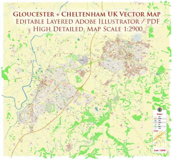
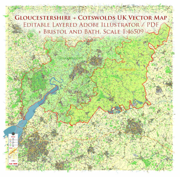
Gloucester and Cheltenham are two historically significant towns in the United Kingdom, both located in the county of Gloucestershire. Each town has a unique history of urban development, shaped by various factors such as economy, trade, industry, and cultural influences. Here’s a brief overview of the history of urban development in Gloucester and Cheltenham:
Gloucester:
- Roman Origins: Gloucester has ancient origins, dating back to Roman times when it was known as Glevum. The Romans established a fortress there in the 1st century AD, and the town grew around it, becoming an important center for trade and commerce.
- Medieval Period: Gloucester continued to thrive during the medieval period, with the construction of the Gloucester Cathedral in the 11th century and the Gloucester Docks in the 19th century. The docks played a crucial role in connecting Gloucester to the Severn Estuary and further facilitating trade.
- Industrial Revolution: The Industrial Revolution had a significant impact on Gloucester, leading to the expansion of industries such as shipping, timber, and manufacturing. The canal and railway systems were developed to enhance transportation and trade links.
- Victorian Era: The Victorian era saw further urbanization and expansion of infrastructure in Gloucester. Notable developments include the construction of new public buildings and the expansion of the railway network.
- 20th Century: Gloucester continued to evolve in the 20th century, adapting to changes in industry and urban planning. The decline of traditional industries led to efforts in diversification and regeneration.
Cheltenham:
- Regency Period: Cheltenham gained prominence during the Regency era as a fashionable spa town. The discovery of mineral springs led to the development of elegant Georgian and Regency architecture. The town became a popular destination for the wealthy seeking the health benefits of spa treatments.
- Victorian Era: Cheltenham continued to grow in the Victorian era, with the expansion of the town’s infrastructure and the establishment of cultural and educational institutions. The town’s popularity as a spa destination declined, but it gained a reputation for its cultural events and festivals.
- 20th Century: Cheltenham adapted to the changing times, embracing tourism, education, and technology. The town became known for the Cheltenham Festival, a prestigious horse racing event.
- Post-War Period: Like many other towns, Cheltenham experienced post-war redevelopment and expansion. New housing estates were built, and the town continued to attract businesses and residents.
- Modern Era: In recent years, both Gloucester and Cheltenham have focused on urban regeneration projects, preserving their historical character while modernizing infrastructure. These efforts aim to enhance the quality of life for residents and attract visitors.
Overall, the history of urban development in Gloucester and Cheltenham reflects the changing economic, social, and cultural landscape of the region over the centuries. Today, they stand as vibrant towns with a rich heritage and a blend of historical and modern influences.


 Author: Kirill Shrayber, Ph.D. FRGS