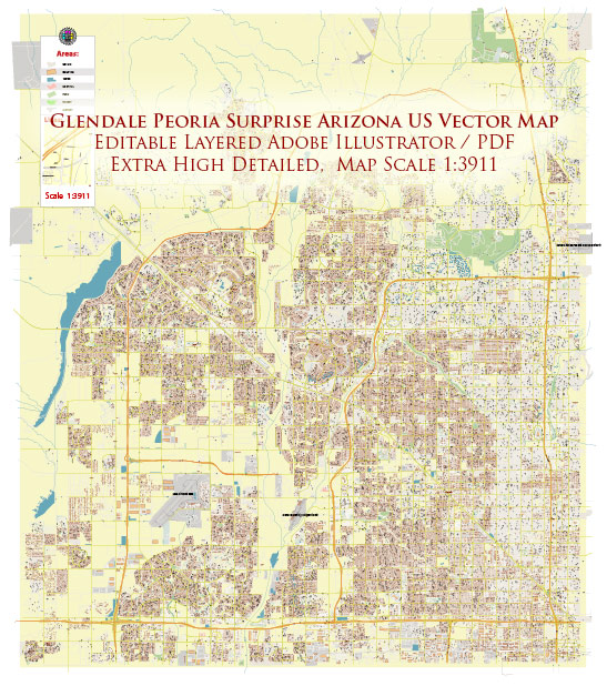
General overview of the history of urban development in Glendale, Peoria, and Surprise, Arizona. Keep in mind that there may have been further developments since then.
Glendale, Arizona:
Early History:
- Glendale’s history can be traced back to the late 19th century when William John Murphy, a prominent Arizona land developer, began promoting and selling land in the area.
- The completion of the Arizona Canal in 1885 facilitated agriculture, and the availability of water attracted settlers.
Growth and Development:
- Glendale gradually transformed from an agricultural community to a more diversified economy, with the development of businesses and industries.
- The city experienced growth during the post-World War II period, with an influx of population and the establishment of various facilities and services.
Sports and Entertainment:
- Glendale is known for the University of Phoenix Stadium, home to the Arizona Cardinals of the NFL and host to various major sporting events, including the Super Bowl.
- Westgate Entertainment District, a mixed-use development, has contributed to Glendale’s reputation as a hub for entertainment and shopping.
Peoria, Arizona:
Early Settlement:
- Peoria’s history is also rooted in agriculture, and it was initially settled by farmers who were attracted to the fertile land along the Salt River.
- The completion of the Peoria Canal in 1886 further facilitated agricultural development.
Urbanization:
- Like Glendale, Peoria experienced significant growth in the post-World War II era, with an increase in population and the development of residential and commercial areas.
- The city saw a transition from its rural roots to a suburban community.
Economic Development:
- Economic diversification occurred with the growth of businesses, healthcare facilities, and educational institutions in Peoria.
Surprise, Arizona:
Early Development:
- Surprise, as the name suggests, was originally a remote area with a few scattered houses.
- The city experienced a significant transformation in the late 20th century as the Phoenix metropolitan area expanded.
Planned Community:
- Surprise adopted a master-planned approach to development, with an emphasis on well-designed neighborhoods, parks, and amenities.
- The city attracted retirees and families looking for a suburban lifestyle.
Economic Growth:
- Surprise has seen economic growth with the development of retail centers, educational institutions, and healthcare facilities.
Common Themes:
- All three cities, Glendale, Peoria, and Surprise, are part of the Phoenix metropolitan area, and their histories are interconnected with the broader regional development.
- The availability of water resources, particularly through canal systems, played a crucial role in the initial settlement and agricultural development of these areas.
- Post-World War II, there was a notable shift toward suburbanization and a more diversified economy, reflecting broader trends in the United States.


 Author: Kirill Shrayber, Ph.D. FRGS