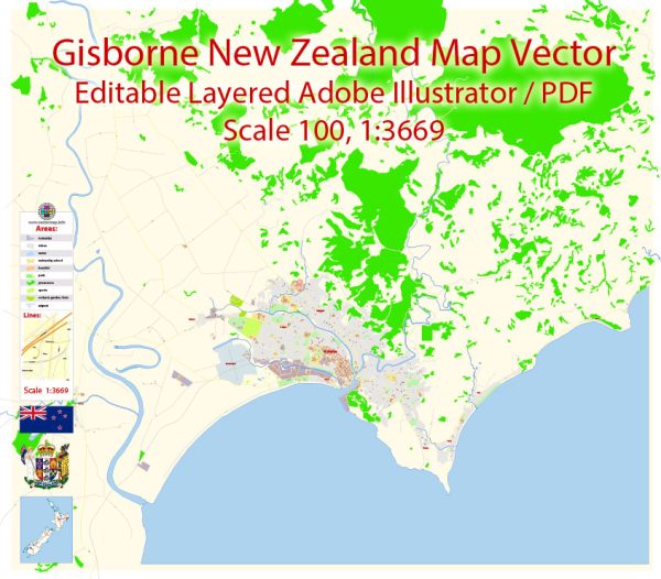
Gisborne is a city on the east coast of the North Island of New Zealand. It is the largest settlement in the Gisborne District and serves as the administrative and commercial center for the region.
Gisborne has a rich history shaped by both Māori and European influences. Here’s a brief overview of the history of urban development in Gisborne:
- Māori Settlements: Before the arrival of Europeans, the region was inhabited by the Māori people. They were primarily of the Te Aitanga-a-Māhaki and Rongowhakaata iwi (tribes). The area provided a favorable environment for settlement due to its proximity to the sea and the fertile plains for agriculture.
- James Cook’s Landing: In 1769, Captain James Cook became the first European to set foot in the area. His arrival marked the beginning of European influence in the region.
- European Settlement: European settlers began arriving in the mid-19th century, and Gisborne gradually developed as a European settlement. Agriculture, forestry, and whaling played crucial roles in the early economy.
- Transportation: The development of transportation infrastructure, including roads and railways, contributed to the growth of Gisborne. Improved access facilitated the export of local produce and contributed to economic development.
- Economic Activities: Gisborne’s economy historically relied on agriculture, including sheep farming, horticulture, and viticulture. The region is known for its wine production, and the wine industry has become an important part of the local economy.
- Cultural Significance: Gisborne has retained its cultural ties with the Māori community, and efforts have been made to recognize and preserve the cultural heritage of the region. There are marae (Māori meeting grounds) and cultural events that celebrate the Māori traditions.
- Modern Urban Development: In recent years, Gisborne has seen modern urban development, with improvements in infrastructure, amenities, and urban planning. The city’s waterfront area, in particular, has undergone redevelopment to enhance its appeal and create recreational spaces.


 Author: Kirill Shrayber, Ph.D. FRGS