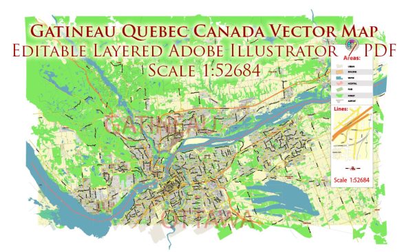
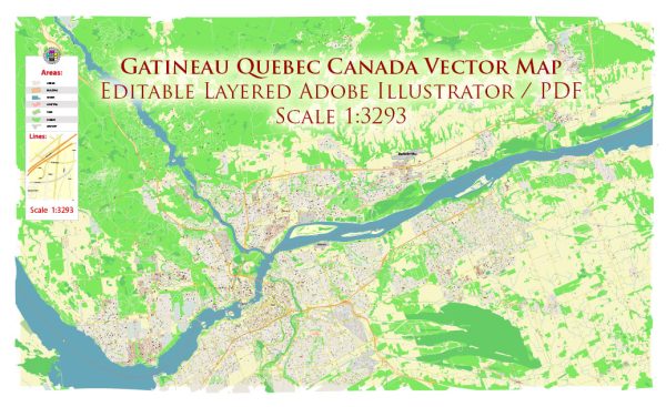
Gatineau, located in the province of Quebec, Canada, has a rich history of urban development that reflects the region’s cultural, economic, and social evolution. Here is an overview of key aspects of Gatineau’s urban development history:
- Indigenous Presence: The area that is now Gatineau has a long history of Indigenous habitation, with various Algonquin-speaking peoples being the original inhabitants. The Ottawa River, which flows through the region, was a vital waterway for trade and transportation.
- European Exploration and Settlement: European explorers, including Samuel de Champlain, visited the region in the early 17th century. However, significant European settlement did not occur until the 19th century. The timber industry played a crucial role in the early economic development of the area.
- Lumber Industry Boom: Gatineau’s proximity to the Ottawa River facilitated the growth of the lumber industry in the 19th century. Timber was floated down the river to sawmills, contributing to the economic development of the region. The construction of the Canadian Pacific Railway further enhanced transportation and connectivity.
- Formation of Hull: The city of Hull, now part of Gatineau, was founded in 1800. Its early development was closely tied to the timber trade and industrial activities along the Ottawa River.
- Connection to Ottawa: Gatineau is situated just across the Ottawa River from the nation’s capital, Ottawa. The two cities have a close historical and economic relationship, with several bridges connecting them.
- Urban Expansion in the 20th Century: The mid-20th century saw significant urban expansion, with population growth and increased industrialization. Gatineau continued to evolve as an urban center with a diverse economy.
- Government Presence: The presence of the federal government in nearby Ottawa has had a significant impact on Gatineau’s development. As the national capital region expanded, Gatineau experienced growth in government-related activities, infrastructure, and services.
- Cultural and Recreational Development: Gatineau is known for its cultural attractions, including museums, parks, and festivals. The city’s urban development includes the creation of spaces for cultural and recreational activities, contributing to the overall quality of life for residents.
- Modern Planning and Infrastructure: In recent decades, Gatineau has focused on modern urban planning and sustainable development. Efforts have been made to enhance public spaces, improve infrastructure, and promote a balance between urbanization and environmental conservation.
- Bilingual Identity: As part of the francophone province of Quebec, Gatineau reflects a bilingual and multicultural identity. This is influenced by the coexistence of English and French speakers and the proximity to the predominantly anglophone city of Ottawa.
Gatineau’s history of urban development is intertwined with the broader history of the region, reflecting the economic forces, cultural influences, and geographical features that have shaped its growth over the years.


 Author: Kirill Shrayber, Ph.D.