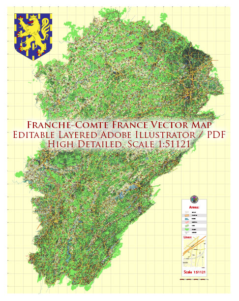
The Franche-Comté region in eastern France has a rich history that has significantly influenced its urban development. Here is an overview of the historical urban development of Franche-Comté:
Roman and Medieval Periods:
- Roman Influence: Franche-Comté was part of the Roman province of Gallia Belgica, and Roman settlements existed in the region, leaving behind traces of their civilization.
- Medieval Towns: During the medieval period, Franche-Comté saw the development of numerous fortified towns, often situated on strategic locations for defense. Towns such as Besançon, Montbéliard, and Dole began to take shape during this time.
Burgundian and Habsburg Rule:
- Burgundian Influence: Franche-Comté came under the influence of the Burgundian dukes in the 15th century. This period saw the construction and expansion of castles and fortifications in the region.
- Habsburg Rule: In the 16th century, Franche-Comté became part of the Habsburg Empire. The Habsburgs continued to fortify key towns and cities as defense against external threats.
17th Century:
- Vauban’s Influence: The 17th century brought about significant changes in urban planning with the influence of military engineer Sébastien Le Prestre de Vauban. Besançon, in particular, benefited from Vauban’s expertise in fortification. The Citadelle de Besançon, designed by Vauban, is a UNESCO World Heritage site and a testament to this period.
18th Century:
- Economic Development: The 18th century saw the development of trade and commerce in Franche-Comté. Towns such as Besançon and Montbéliard prospered economically, leading to the construction of elegant townhouses and public buildings.
French Revolution and Beyond:
- French Revolution: The French Revolution brought about political changes, and Franche-Comté became part of France in 1790. This period saw the restructuring of administrative divisions and the adaptation of urban spaces to new political realities.
- Industrialization: The 19th century witnessed the impact of industrialization on urban development. Towns like Montbéliard and Belfort became centers of industry, leading to the construction of factories and workers’ housing.
20th Century:
- Modernization: The 20th century brought further urbanization and modernization. Infrastructure projects, transportation networks, and housing developments transformed the urban landscape.
- Post-WWII Reconstruction: Like many other regions in Europe, Franche-Comté faced challenges during and after World War II. Post-war reconstruction efforts led to the modernization of urban areas.
Contemporary Period:
- Cultural Preservation: In recent decades, there has been a focus on preserving the cultural and historical heritage of Franche-Comté. Many historic sites and buildings have been restored to maintain the region’s unique character.
- Urban Planning: Contemporary urban development in Franche-Comté balances preservation efforts with the need for modern amenities. Sustainable development and cultural tourism play roles in shaping the future of urban areas.
Overall, the history of urban development in Franche-Comté reflects its strategic importance, the influence of different rulers, economic changes, and the efforts to balance modernization with the preservation of its rich cultural heritage.


 Author: Kirill Shrayber, Ph.D.