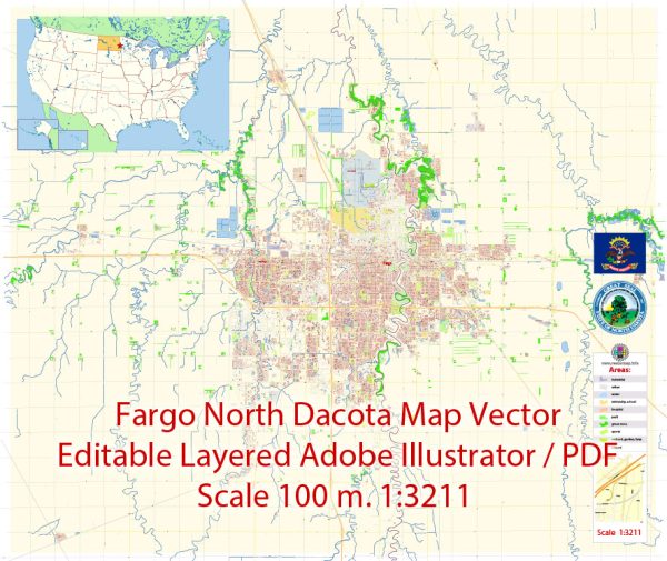
Fargo, North Dakota, has a rich history of urban development that reflects the economic, social, and cultural changes that have shaped the region. Here’s a brief overview of the key points in Fargo’s urban development history:
- Early Settlement (late 19th century): Fargo was founded in 1871 as a stopping point for the Northern Pacific Railroad. The city quickly grew as settlers, primarily of Scandinavian and German descent, moved to the area to take advantage of the fertile land for farming. The railroad played a crucial role in the city’s development, facilitating transportation and trade.
- Great Fire of 1893: A major event in Fargo’s history was the Great Fire of 1893, which destroyed much of the city’s downtown. After this disaster, efforts were made to rebuild using more durable materials such as brick and stone. This rebuilding phase contributed to the architectural character of downtown Fargo.
- Economic Growth and Diversification (early to mid-20th century): Fargo continued to grow throughout the early 20th century, with the agricultural sector playing a vital role in the economy. As the city expanded, so did its infrastructure, including the development of schools, hospitals, and public facilities.
- Mid-Century Modernization: In the mid-20th century, Fargo experienced urban renewal and modernization efforts, reflecting broader trends in American cities. This period saw the construction of new public buildings, highways, and commercial centers. The city’s infrastructure was upgraded to accommodate the growing population and changing needs of residents.
- Expansion of Higher Education: The presence of North Dakota State University (NDSU) has been a significant factor in Fargo’s development. The university, founded in 1890, has grown and influenced the city’s cultural and economic landscape. The campus has expanded over the years, bringing students, faculty, and research activities to the community.
- Technological Advances and Economic Diversification (late 20th century): Fargo has evolved from its agricultural roots, diversifying its economy. The city has become a regional hub for healthcare, technology, and finance. The development of the Fargo-Moorhead Metropolitan Area reflects this economic diversification, with modern office complexes, shopping centers, and residential areas.
- Cultural and Arts Scene: In recent decades, Fargo has also seen a vibrant cultural and arts scene emerge. The revitalization of downtown Fargo has been accompanied by the establishment of theaters, galleries, and entertainment venues, contributing to a more dynamic urban experience.
- Population Growth and Urban Planning: Fargo has consistently experienced population growth, prompting city planners to focus on sustainable development and infrastructure improvements. Urban planning initiatives aim to balance growth with the preservation of historical and cultural assets, creating a livable and resilient city.
In summary, Fargo’s urban development has been shaped by its agricultural roots, railroad history, economic diversification, higher education institutions, and a commitment to balancing growth with cultural and historical preservation. The city continues to evolve, adapting to the changing needs and opportunities of its residents.


 Author: Kirill Shrayber, Ph.D. FRGS