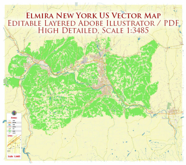
Elmira, New York, has a rich history of urban development that spans several centuries. The city is located in Chemung County in the Southern Tier region of New York State. Here is an overview of Elmira’s urban development history:
- Early Settlement and Growth (Late 18th Century – Early 19th Century):
- Elmira’s history dates back to the late 18th century when it was first settled by Europeans. The area was initially inhabited by the indigenous Iroquois people.
- The Sullivan Expedition of 1779 during the American Revolutionary War opened up the region for settlement by American colonists. The Sullivan Campaign aimed to eliminate the threat of British-allied Iroquois tribes in the area.
- The Chemung River, which runs through Elmira, played a crucial role in the city’s early development, serving as a transportation route for goods and people.
- Incorporation and Transportation (19th Century):
- Elmira was officially incorporated as a village in 1828 and later as a city in 1864.
- The arrival of the Chemung Canal in 1833 and the Erie Railroad in 1849 contributed significantly to the city’s growth and economic development. These transportation links facilitated the movement of goods and people, boosting trade and commerce.
- Civil War and Prisoner of War Camps:
- During the American Civil War (1861-1865), Elmira gained prominence as the location of the Elmira Prison Camp, where Confederate prisoners of war were held. The camp’s historical significance is marked by Woodlawn National Cemetery, which includes a section dedicated to Confederate soldiers who died during their captivity.
- Industrialization (Late 19th – Early 20th Century):
- The late 19th century saw the industrialization of Elmira. Industries such as manufacturing, textiles, and tanning became crucial to the city’s economy.
- Notable businesses, including the Elmira Knitting Mills, contributed to the city’s prosperity.
- Expansion and Infrastructure (Mid-20th Century):
- Elmira continued to grow in the mid-20th century, and infrastructure development became a priority. This period saw the expansion of residential areas and the establishment of educational institutions.
- The Elmira-Corning Regional Airport, opened in the 1960s, enhanced the city’s connectivity.
- Challenges and Redevelopment (Late 20th Century – 21st Century):
- Like many industrial cities, Elmira faced economic challenges in the latter half of the 20th century, marked by the decline of traditional industries.
- Efforts at revitalization and redevelopment have been ongoing, with a focus on diversifying the economy, improving infrastructure, and preserving historical landmarks.
- Cultural and Recreational Assets:
- Elmira boasts cultural institutions such as the Clemens Center, named after Mark Twain (Samuel Clemens), who spent summers in Elmira. The Chemung Valley History Museum preserves and showcases the region’s history.
- The city’s parks, including Eldridge Park, contribute to the quality of life for residents.
Elmira’s history reflects the broader trends of urban development in the United States, from its early days as a transportation hub to the challenges and opportunities of the modern era. Today, Elmira continues to evolve, adapting to economic changes and embracing its historical and cultural heritage.


 Author: Kirill Shrayber, Ph.D.