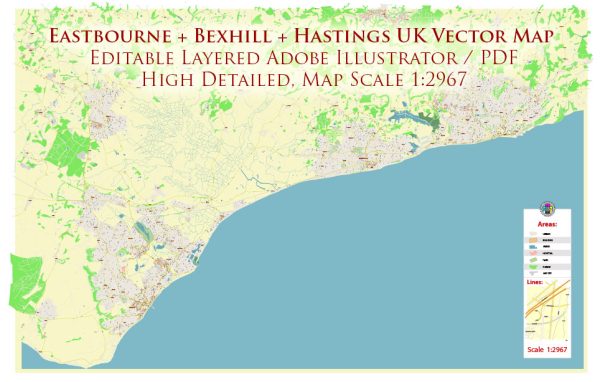
Eastbourne, Bexhill, and Hastings are towns situated along the southeast coast of England, with each having a rich history of urban development.
Eastbourne:
- Early History: Eastbourne’s history dates back to the Roman era, but it gained prominence in the 19th century as a resort town. The town’s development was greatly influenced by the arrival of the railway in the mid-19th century, connecting it to London and facilitating the influx of tourists seeking the therapeutic benefits of the sea air.
- Victorian Architecture: Much of Eastbourne’s urban development occurred during the Victorian era. The town showcases a wealth of Victorian architecture, including the famous Grand Hotel and the Victorian pier. These structures reflect the architectural style and grandeur of the period when Eastbourne became a fashionable seaside resort.
- 20th Century Expansion: In the 20th century, Eastbourne continued to grow, with new residential areas and infrastructure developments. The town played a role in the defense efforts during World War II, and the post-war period saw increased suburbanization and the development of modern amenities.
Bexhill:
- Founding and Edwardian Era: Bexhill has a unique history as a planned town. It was developed in the late 19th and early 20th centuries, with notable contributions from the ninth Earl De La Warr. The town’s iconic De La Warr Pavilion, a masterpiece of Modernist architecture, was built in the 1930s.
- Cultural Heritage: Bexhill has a strong cultural heritage, with an emphasis on the arts and education. The De La Warr Pavilion, designed by architects Erich Mendelsohn and Serge Chermayeff, stands as a testament to the town’s commitment to avant-garde architecture and cultural pursuits.
Hastings:
- Medieval Origins: Hastings has ancient origins dating back to the medieval period. The town is famous for the Battle of Hastings in 1066, a pivotal event in English history. The medieval Old Town still preserves some historic structures and street layouts.
- Victorian Era and Fishing Industry: Similar to Eastbourne, Hastings experienced significant growth during the Victorian era. The fishing industry played a crucial role in the town’s development, with the iconic tall black fishing huts, known as “net shops,” still lining the beach. The Stade area is a testament to Hastings’ maritime heritage.
- Modern Developments: In the 20th century, Hastings underwent urban redevelopment, and efforts were made to revitalize the town. The construction of new residential areas, cultural institutions, and improved infrastructure contributed to the town’s modern identity.
In summary, the urban development of Eastbourne, Bexhill, and Hastings reflects the evolution of English coastal towns from ancient origins through periods of Victorian prosperity to the challenges and opportunities of the modern era. Each town has its unique character shaped by historical events, cultural influences, and economic activities.


 Author: Kirill Shrayber, Ph.D. FRGS