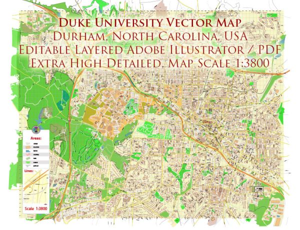
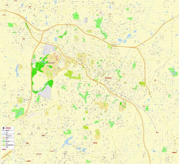
Duke University is located in Durham, North Carolina, a city with a rich history of urban development that has played a significant role in shaping the region. The story of Durham’s urban development is closely tied to its economic, social, and cultural evolution. Here is a brief overview:
- Tobacco and Industry:
- 19th Century: Durham’s early development was heavily influenced by the tobacco industry. The city grew around the production of bright leaf tobacco, and businesses like the American Tobacco Company played a pivotal role in shaping the economic landscape.
- The Rise of the Bull City:
- Late 19th to Early 20th Century: Durham became known as the “Bull City” due to the prominent Bull Durham Tobacco brand. The city’s downtown area developed with the construction of tobacco warehouses, factories, and other industrial facilities. The growth of the tobacco industry brought prosperity to the region.
- African American Entrepreneurship:
- Early 20th Century: Durham was a hub for African American entrepreneurship during the Jim Crow era. The Parrish Street area, known as “Black Wall Street,” thrived with successful black-owned businesses, including banks and insurance companies.
- Educational Institutions:
- 20th Century: The presence of educational institutions like Duke University has played a crucial role in the city’s development. Duke University, founded in the 1920s, has been a major economic and cultural driver.
- Research and Technology:
- Mid-20th Century: Durham transitioned from a primarily tobacco-based economy to one centered around research, technology, and healthcare. The Research Triangle Park, established in the 1950s, attracted numerous high-tech companies, further diversifying the local economy.
- Urban Renewal and Challenges:
- Late 20th Century: Like many American cities, Durham experienced challenges associated with urban renewal initiatives during the mid-20th century. Some historic neighborhoods faced demolition, and the city grappled with issues such as segregation and economic disparities.
- Revitalization and Growth:
- Late 20th Century to Present: In recent decades, there has been a concerted effort to revitalize downtown Durham. The historic tobacco warehouses have been repurposed into restaurants, offices, and residential spaces. The city has become a cultural and culinary hub, attracting a diverse population.
- Cultural and Artistic Scene:
- Present Day: Durham’s urban development is not only about economics but also its vibrant cultural and artistic scene. The city hosts various festivals, events, and has a thriving local music and arts community.
Overall, Durham’s history of urban development reflects the complex interplay of economic, social, and cultural forces. It has transformed from a tobacco-centered economy to a diverse, dynamic city with a mix of industry, education, and a rich cultural heritage. The presence of Duke University continues to be a key factor in shaping the city’s identity and contributing to its ongoing development.


 Author: Kirill Shrayber, Ph.D. FRGS