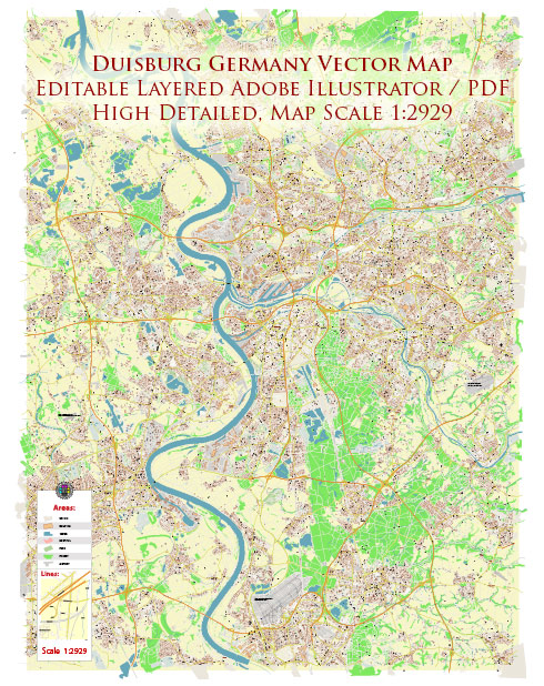
Duisburg, located in the western part of Germany, is a city with a rich history of urban development that dates back to Roman times. Here is a brief overview of Duisburg’s history of urban development:
- Roman Period (1st century BC – 5th century AD): Duisburg’s history can be traced back to the Roman period when the area was known as Castrum Deutonis. The Romans established a military camp here, taking advantage of its strategic location at the confluence of the Rhine and Ruhr rivers. The camp played a crucial role in the Roman defense system along the Rhine.
- Medieval Period (5th century – 15th century): After the fall of the Roman Empire, Duisburg went through various changes of rule and was eventually included in the Holy Roman Empire. During the medieval period, the city became a prominent trading center due to its location on important trade routes. The construction of the Salvatorkirche (Salvator Church) in the 8th century is a testament to Duisburg’s growing importance.
- Industrial Revolution (18th century – 19th century): The Industrial Revolution had a significant impact on Duisburg. The city experienced rapid industrialization, becoming a hub for coal and steel production. The construction of the Inner Harbor in 1806 facilitated the transport of goods and contributed to Duisburg’s economic growth. The city’s population expanded as people moved in search of employment opportunities in the growing industries.
- 20th Century: Duisburg played a crucial role in the German economy during the 20th century. However, the city also faced challenges, especially during World War II when it suffered extensive damage from bombings. The post-war period saw efforts to rebuild and modernize the city.
- Contemporary Period: In recent decades, Duisburg has continued to evolve. The city has faced economic challenges, particularly in the decline of traditional heavy industries. However, efforts have been made to diversify the economy and rejuvenate urban spaces. The Duisburg Inner Harbor, once an industrial area, has been transformed into a modern waterfront with recreational spaces, museums, and cultural attractions.
- Transportation Hub: Duisburg’s strategic location as a transportation hub has been a consistent theme in its development. The city is a major inland port and a key point on the Rhine-Ruhr and Rhine-Main-Danube waterways. The Duisburg-Ruhrorter Häfen is one of the largest inland ports in the world.
Overall, Duisburg’s history reflects its transformation from a Roman military outpost to a medieval trading center and, later, an industrial powerhouse. Today, the city continues to adapt to economic changes and embraces its historical and cultural heritage while looking towards a more diverse and sustainable future.


 Author: Kirill Shrayber, Ph.D.