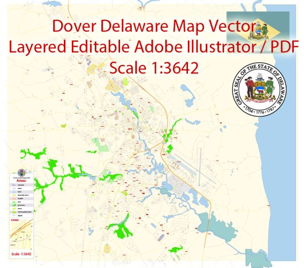
Dover, Delaware, the capital city of the United States’ first state, has a rich history of urban development that spans centuries. Here is an overview of the key aspects of Dover’s urban development:
- Colonial Era (17th-18th centuries):
- Dover was originally settled in the early 17th century by English colonists. The city was laid out in 1717 and officially designated as the capital of Delaware in 1777. Its location was strategically chosen for its central position within the state.
- The Green, a central square in downtown Dover, was established during this period and has served as a focal point for civic and social activities since then.
- 19th Century:
- Dover experienced growth during the 19th century as it became a hub for government and commerce. The construction of the Delaware Railroad in the mid-19th century further facilitated economic development, connecting Dover to nearby cities and promoting trade.
- Architectural styles from this period, including Victorian and Federal styles, can still be seen in some of the city’s historic buildings.
- 20th Century:
- Dover’s urban landscape continued to evolve in the 20th century. The construction of Route 13, a major north-south highway, and Route 113, an important east-west corridor, played a significant role in shaping the city’s transportation infrastructure.
- The expansion of Dover Air Force Base during World War II brought additional economic activity and population growth to the area.
- Post-WWII Era:
- Like many American cities, Dover experienced suburbanization in the post-World War II era. The development of suburbs and the rise of automobile use led to changes in the city’s demographics and land use patterns.
- The city adapted to these changes by developing new residential areas while preserving its historic core.
- Recent Development:
- In recent decades, Dover has focused on preserving its historic character while also encouraging economic development. Efforts have been made to revitalize the downtown area, including the restoration of historic buildings and the promotion of cultural events.
- Dover International Speedway, a major NASCAR race track, has brought national attention and economic impact to the city.
- Government and Institutions:
- Dover’s identity as the state capital has played a crucial role in its development. Government buildings, including Legislative Hall, contribute to the city’s institutional landscape.
- The presence of Delaware State University has also influenced the city’s growth and cultural diversity.
- Challenges and Opportunities:
- Like many cities, Dover faces challenges such as managing growth, maintaining infrastructure, and addressing social and economic disparities. Urban planners and community leaders continue to work on sustainable development initiatives and revitalization projects.
Dover’s urban development reflects its historical significance as a colonial capital and its adaptation to the changing economic and social dynamics of the United States over the centuries. The city continues to evolve, balancing the preservation of its rich heritage with the demands of a modern and dynamic society.


 Author: Kirill Shrayber, Ph.D. FRGS