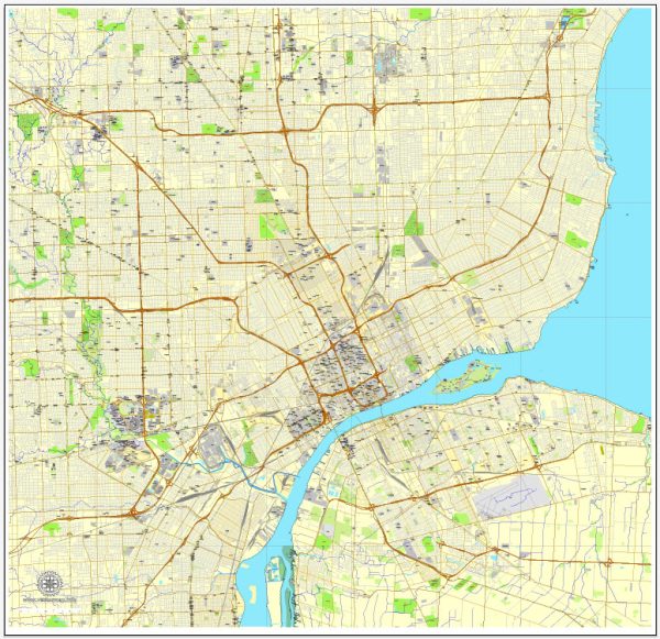
The history of urban development in Detroit, Michigan, is a complex and multifaceted story that spans several centuries. Here’s an overview of key periods and events that have shaped the city’s urban landscape:
- Early Settlement and Growth (1701-1800s):
- Detroit was founded in 1701 by Antoine de la Mothe Cadillac, a French explorer, and it became a strategic trading post and military outpost.
- The city’s location along the Detroit River made it a crucial hub for transportation and trade.
- Industrialization and the Automobile Boom (late 1800s-early 1900s):
- Detroit’s urban development accelerated with the rise of the automotive industry in the early 20th century, particularly with the establishment of the Ford Motor Company by Henry Ford.
- The city experienced rapid population growth as people flocked to Detroit for job opportunities in the booming automobile industry.
- Great Migration and Urbanization (1910s-1940s):
- The Great Migration brought a significant influx of African Americans from the southern United States to Detroit, seeking employment in the auto factories.
- The city’s population continued to swell, leading to increased demand for housing and services.
- World War II and Postwar Period (1940s-1950s):
- Detroit played a crucial role in wartime production during World War II, contributing to the growth of the city’s industrial complex.
- After the war, there was a suburbanization trend, with many residents moving to the suburbs, facilitated by the development of the interstate highway system.
- Decline and Urban Challenges (1960s-1980s):
- Detroit faced economic challenges as the auto industry declined, leading to job losses and population decline.
- Racial tensions and civil unrest in the 1960s, exemplified by the 1967 Detroit riots, contributed to urban decay and white flight.
- Urban Renewal and Redevelopment (1990s-2000s):
- Efforts were made to revitalize downtown Detroit, with the construction of new sports stadiums, casinos, and the Renaissance Center.
- The city aimed to attract businesses and residents back to the urban core.
- Bankruptcy and Resurgence (2010s-Present):
- Detroit declared bankruptcy in 2013, facing severe financial challenges and a declining population.
- However, in recent years, there has been a renewed focus on revitalization, with investments in infrastructure, public spaces, and a growing tech and arts scene.
- Current Challenges and Opportunities:
- Despite progress, Detroit still faces challenges such as vacant properties, infrastructure issues, and disparities in economic development.
- Initiatives like Detroit Future City aim to address these challenges and create a more sustainable and equitable urban future.
The history of Detroit’s urban development reflects the broader trends in American industrialization, migration patterns, and urban planning, with periods of growth, decline, and ongoing efforts to shape a vibrant and resilient city.


 Author: Kirill Shrayber, Ph.D. FRGS