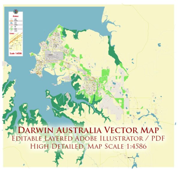
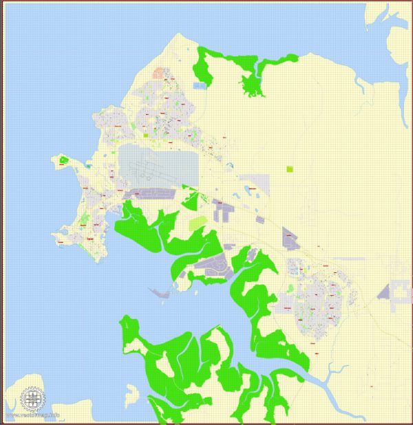
Darwin, the capital city of the Northern Territory in Australia, has a unique history of urban development shaped by its geographical location, climatic conditions, and historical events. Here’s an overview of the history of urban development in Darwin:
- Indigenous Presence: The region around Darwin has been inhabited by Indigenous Australians for thousands of years before European settlement. The Larrakia people are the traditional owners of the land on which Darwin is situated.
- Early European Exploration: European exploration of the area began in the early 19th century. In 1839, the HMS Beagle, with Charles Darwin on board, visited the region, and this event influenced the naming of the settlement.
- Settlement and Port Development: The settlement of Darwin started in 1869 with the establishment of a small telegraph station. The town grew as a result of port-related activities, such as the export of buffalo hides and later, the export of minerals.
- World War II and Bombing: Darwin played a crucial role during World War II as a military base. In 1942, the city experienced a series of devastating air raids by the Japanese, which resulted in significant damage and loss of life. After the war, reconstruction efforts were initiated.
- Post-War Reconstruction: The post-war period saw the reconstruction and expansion of Darwin. The city’s development was influenced by its strategic importance in the northern defense of Australia. The construction of infrastructure, including roads and buildings, was accelerated during this time.
- Cyclone Tracy: In 1974, Cyclone Tracy struck Darwin, causing widespread destruction. Much of the city was flattened, and thousands were left homeless. This event led to the implementation of stricter building codes and more resilient urban planning.
- Modern Urban Development: In recent decades, Darwin has experienced rapid growth and modernization. The city has seen the development of new infrastructure, residential areas, and commercial spaces. The expansion of the natural gas industry and increased tourism have contributed to this growth.
- Cultural Diversity: Darwin’s history of urban development is also marked by its cultural diversity. The city has a significant Indigenous population, and its proximity to Asia has led to a multicultural atmosphere, with influences from various cultures.
- Infrastructure and Amenities: Today, Darwin boasts modern infrastructure, including a deep-water port, international airport, and a range of amenities such as parks, museums, and recreational facilities.
- Environmental Considerations: Given its tropical climate and susceptibility to natural disasters, modern urban planning in Darwin emphasizes environmental sustainability and resilience to extreme weather events.
Overall, the history of urban development in Darwin reflects a dynamic interplay of Indigenous heritage, European influence, wartime challenges, and post-war reconstruction, culminating in a modern city that is a key economic and cultural hub in northern Australia.


 Author: Kirill Shrayber, Ph.D. FRGS