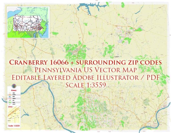
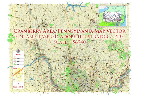
Cranberry Township is located in Butler County, Pennsylvania, and it has experienced significant growth and development over the years. Like many towns in the United States, Cranberry’s history is likely rooted in agriculture and early settlement, with the area initially being home to farms and rural communities.
In the late 20th and early 21st centuries, many suburban areas around major cities experienced rapid growth due to factors such as industrialization, economic opportunities, and improved transportation infrastructure. Cranberry Township, being situated close to Pittsburgh, likely saw increased development as people sought to live in suburban areas while still having access to urban amenities.
Key factors that might have influenced Cranberry’s urban development include:
- Proximity to Pittsburgh: Being located near a major city like Pittsburgh could have led to increased residential and commercial development as people sought housing in the suburbs while maintaining access to the job opportunities and cultural amenities in the city.
- Infrastructure Development: The expansion and improvement of transportation infrastructure, such as highways, might have played a role in attracting businesses and residents to Cranberry Township.
- Economic Factors: Economic opportunities, including the presence of businesses and job opportunities, can drive urban development. As the local economy grew, so too might have the demand for housing, services, and other amenities.
- Zoning and Planning: Local zoning regulations and urban planning efforts would have shaped the character and layout of Cranberry Township. Zoning decisions, in particular, can influence the type of development that occurs in different areas.
- Population Growth: An increasing population often leads to the need for more housing, schools, and services, driving urban development.
It’s important to consult local historical records, town planning documents, and community archives for more specific and up-to-date information on Cranberry’s urban development history. Local historical societies, libraries, and municipal offices are good resources for this kind of information.


 Author: Kirill Shrayber, Ph.D.