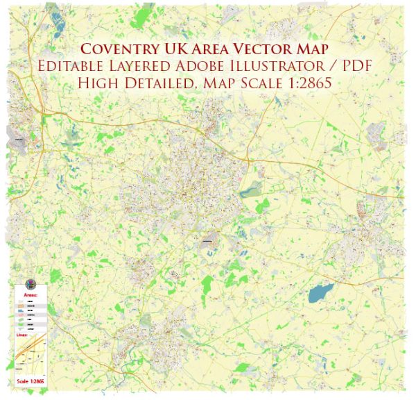
Coventry, located in the West Midlands region of England, has a rich history of urban development that spans centuries. Here is an overview of key points in the city’s history:
- Medieval Period (11th – 15th centuries):
- Coventry’s history dates back to at least the 11th century when a Benedictine monastery was founded.
- The city’s economy thrived on the woolen textile trade during the medieval period, contributing to its growth and prosperity.
- Industrial Revolution (18th – 19th centuries):
- Coventry played a significant role in the Industrial Revolution, particularly in the 18th and 19th centuries.
- The city became known for its silk and ribbon industries, and later for watch and bicycle manufacturing.
- The arrival of the railway in the mid-19th century further boosted Coventry’s industrialization.
- World War II (20th century):
- Coventry suffered severe damage during World War II due to German bombing raids in November 1940.
- The city center was largely destroyed, including the historic cathedral. This event, known as the Coventry Blitz, had a profound impact on the city’s urban landscape.
- Post-War Reconstruction:
- After the war, Coventry underwent extensive post-war reconstruction efforts to rebuild the city.
- The rebuilding process aimed at modernizing the city, and new architecture emerged, including the construction of the new Coventry Cathedral designed by Sir Basil Spence.
- Automobile Industry (20th century):
- Coventry became a major center for the automotive industry, with companies such as Jaguar, Rover, and Triumph establishing their headquarters or manufacturing plants in the city.
- The city earned the nickname “Motor City” due to its association with the automotive sector.
- Late 20th Century:
- In the latter half of the 20th century, Coventry faced economic challenges as the decline of traditional industries, including automotive manufacturing, led to job losses and urban decay.
- Redevelopment projects aimed to rejuvenate the city, with a focus on diversifying the economy and modernizing infrastructure.
- 21st Century:
- Coventry continued its efforts to revitalize the city in the 21st century.
- The city received international recognition when it was named the UK City of Culture for 2021, showcasing its commitment to the arts and cultural development.
Throughout its history, Coventry has experienced periods of growth, industrialization, destruction, and reconstruction, shaping the city into the dynamic urban center it is today. The juxtaposition of historical and modern elements in Coventry reflects its resilience and adaptability over the centuries.


 Author: Kirill Shrayber, Ph.D. FRGS