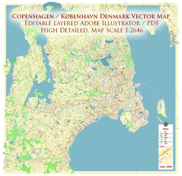
Copenhagen, or København in Danish, has a rich history of urban development that spans over a thousand years. The city’s history is marked by periods of growth, transformation, and cultural influence. Here’s a brief overview of Copenhagen’s urban development:
- Medieval Origins (10th-12th centuries): Copenhagen’s history dates back to the Viking Age, but it officially became a city in the 12th century. It started as a fishing village and gradually grew into a trading hub due to its strategic location on the Øresund, a narrow strait connecting the North Sea to the Baltic Sea.
- Hanseatic Period (13th-17th centuries): Copenhagen became a member of the Hanseatic League, a medieval trading alliance. The city prospered during this period, and its fortifications, including the famous Kastellet, were expanded. The construction of the University of Copenhagen in 1479 contributed to the city’s intellectual and cultural development.
- Absolutism and Urban Planning (17th-18th centuries): During the reign of King Christian IV (1588-1648), Copenhagen underwent significant urban development. The king initiated various construction projects, including the famous district of Christianshavn and the construction of notable buildings like Børsen (the Stock Exchange) and Rosenborg Castle. The city’s fortifications were also expanded.
- Industrialization and Infrastructure (19th century): Copenhagen continued to grow during the 19th century, fueled by industrialization. The construction of railways and the development of the harbor played a crucial role in connecting Copenhagen to the rest of Europe and facilitating trade. The city expanded beyond its medieval walls.
- Modernization and Expansion (20th century): The 20th century saw further urban expansion and modernization. New districts and suburbs were developed, and architectural styles evolved. The Finger Plan, a comprehensive urban development plan implemented in the mid-20th century, guided the expansion of the city along five “fingers” of transportation corridors.
- Contemporary Developments (21st century): Copenhagen has continued to evolve as a modern and sustainable city. In recent decades, there has been a strong emphasis on environmental sustainability, with initiatives such as extensive bike infrastructure, green urban spaces, and the promotion of renewable energy. The city gained international acclaim for its commitment to becoming carbon-neutral by 2025.
- Cultural and Social Developments: Copenhagen has always been a cultural hub, but in recent years, it has gained recognition for its design, culinary scene, and quality of life. The revitalization of waterfront areas, such as Nyhavn, and the development of cultural institutions like the Copenhagen Opera House have contributed to the city’s vibrant cultural landscape.
Copenhagen’s history of urban development reflects its dynamic journey from a medieval trading post to a modern, sustainable metropolis with a strong focus on quality of life and environmental consciousness.


 Author: Kirill Shrayber, Ph.D. FRGS