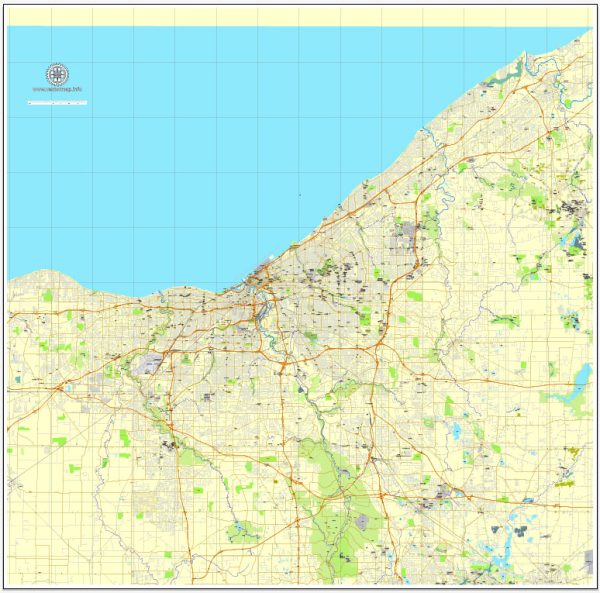
Cleveland, Ohio, has a rich history of urban development that spans several centuries. Here is an overview of key periods and events in the city’s urban development:
- Early Settlement and Industrialization (Late 18th to 19th Century):
- Cleveland was founded in 1796 by General Moses Cleaveland and initially served as a strategic location for trade and transportation due to its proximity to Lake Erie.
- The completion of the Ohio and Erie Canal in 1832 further boosted Cleveland’s economic growth, connecting the city to the Ohio River and facilitating the transport of goods.
- Industrial Boom and Immigration (Late 19th to Early 20th Century):
- Cleveland experienced significant industrial expansion in the late 19th century, becoming a major center for manufacturing and steel production.
- This period also saw a large influx of immigrants, particularly from Eastern Europe, contributing to the city’s cultural diversity.
- City Beautiful Movement and Public Spaces (Late 19th to Early 20th Century):
- The City Beautiful Movement influenced Cleveland’s urban planning during the early 20th century, emphasizing beautification and the creation of public spaces.
- Notable examples include the Group Plan of 1903, which redesigned the downtown area with prominent civic buildings and open spaces.
- Great Depression and Post-World War II Decline (1930s-1950s):
- Like many industrial cities, Cleveland faced economic challenges during the Great Depression, leading to a decline in manufacturing and population loss.
- Post-World War II, suburbanization trends and the construction of the interstate highway system contributed to the migration of residents and businesses away from the city center.
- Urban Renewal and Decline (1950s-1970s):
- In an effort to revitalize the city, Cleveland implemented urban renewal projects during the mid-20th century. However, some of these initiatives, such as the construction of the Inner Belt Freeway, resulted in the displacement of communities and altered the urban fabric.
- Economic Challenges and Revitalization Efforts (Late 20th Century-Present):
- Cleveland faced economic challenges in the latter half of the 20th century, marked by deindustrialization and the decline of traditional manufacturing industries.
- The city has made efforts to revitalize its economy through diversification, including investments in healthcare, technology, and the arts.
- Downtown Development and Waterfront Redevelopment (Late 20th Century-Present):
- Downtown Cleveland has seen significant redevelopment in recent decades, with the construction of new residential, commercial, and entertainment spaces.
- The redevelopment of the waterfront, including the Flats and the Cleveland Lakefront Nature Preserve, has enhanced the city’s connection to Lake Erie.
Cleveland’s urban development is a dynamic and ongoing process, shaped by historical events, economic shifts, and community initiatives. Today, the city continues to evolve as it addresses challenges and embraces opportunities for growth and renewal.


 Author: Kirill Shrayber, Ph.D. FRGS