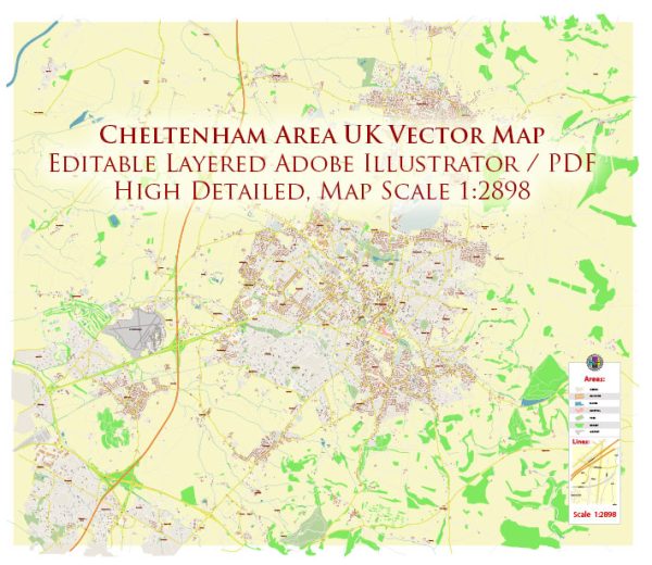
Cheltenham, located in Gloucestershire, England, has a rich history of urban development dating back to the Middle Ages. The town’s development can be divided into several key periods:
- Early History (before 18th century):
- Cheltenham’s origins can be traced back to the Anglo-Saxon period, and it is mentioned in the Domesday Book of 1086.
- The town’s early economy was primarily based on agriculture, and it remained a small market town for many centuries.
- Spa Town Development (18th and 19th centuries):
- Cheltenham’s transformation into a fashionable spa town began in the 18th century when the medicinal properties of the town’s mineral springs were discovered.
- The popularity of spa treatments led to a boom in the town’s development, with the construction of elegant Georgian and Regency architecture.
- Prominent architects, such as John Nash, contributed to the design of some of Cheltenham’s iconic buildings, including the Pittville Pump Room and the Montpellier area.
- The town attracted a wealthy and fashionable clientele, further fueling its growth and prosperity during the 18th and 19th centuries.
- Expansion and Industrialization (19th century):
- Cheltenham’s economy diversified in the 19th century, with the development of industries such as textiles, brickmaking, and metalworking.
- The arrival of the railway in the mid-19th century facilitated both industrial and residential expansion, connecting Cheltenham to other major towns and cities.
- 20th Century and Beyond:
- In the 20th century, Cheltenham continued to grow, and suburbanization became a trend as the town expanded beyond its historical core.
- The post-war period saw further development, and the town adapted to changing economic and social conditions.
- Preservation efforts were made to protect Cheltenham’s historic architecture, and certain areas were designated as conservation zones.
- Contemporary Development:
- In recent years, Cheltenham has continued to evolve with a mix of historical preservation and modern development.
- The town has seen investment in infrastructure, retail, and cultural facilities to meet the needs of its residents and visitors.
- The balance between preserving the historic charm of the spa town and accommodating contemporary requirements remains a key consideration in urban planning.
Today, Cheltenham is known for its Regency architecture, cultural festivals, and as a center for education and tourism. The town’s history of urban development is reflected in its diverse architectural styles and the integration of historical and modern elements.


 Author: Kirill Shrayber, Ph.D. FRGS