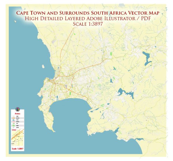
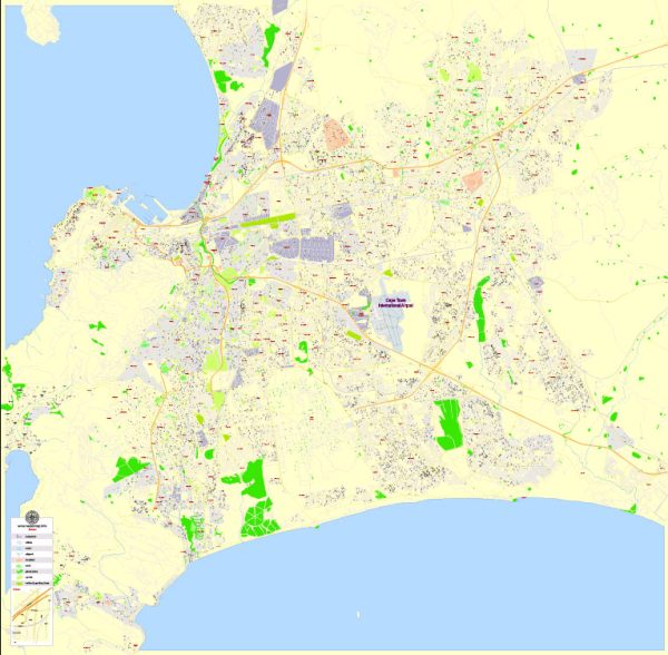
The history of urban development in Cape Town, South Africa, is a rich and complex narrative that spans centuries. This city, located on the southwestern tip of the African continent, has a unique history influenced by indigenous cultures, colonialism, apartheid, and post-apartheid developments. Here is a brief overview of the key stages in Cape Town’s urban development:
- Indigenous Khoikhoi and San Peoples: Prior to European colonization, the region around Cape Town was inhabited by indigenous Khoikhoi and San peoples. They lived as hunter-gatherers and had their own unique cultural practices and societies.
- Dutch Colonial Period (17th Century): The history of Cape Town as a European settlement begins in 1652 when the Dutch East India Company established a refreshment station for sailors traveling to the Dutch East Indies. This station grew into a small colony known as the Cape Colony. Dutch-style architecture and urban planning began to take shape during this period.
- British Colonial Period (19th Century): In 1795, the British occupied the Cape Colony during the Napoleonic Wars, and it was officially ceded to the British in 1814. British influence significantly impacted the city’s development. Victorian and Georgian architectural styles became prominent, and the city expanded.
- Apartheid Era (20th Century): Cape Town, like the rest of South Africa, was deeply affected by apartheid, a system of institutionalized racial segregation. The Group Areas Act of 1950 led to the forced removal of non-white populations from certain areas, resulting in the creation of townships on the outskirts of the city, such as Langa and Gugulethu. The legacy of apartheid’s spatial planning still influences the city’s social and economic dynamics.
- Post-Apartheid Period (1994-Present): The end of apartheid in 1994 ushered in a new era for Cape Town’s urban development. The government initiated programs to redress past inequalities and promote inclusive urban planning. The city has seen significant investment in infrastructure, social housing, and improved access to services in previously disadvantaged areas.
- Economic and Touristic Growth: Cape Town has become a major economic and tourist hub in South Africa. The city has witnessed rapid urbanization and expansion, leading to the development of modern infrastructure, residential areas, and commercial centers. The tourism industry has also grown, with the city attracting visitors from around the world due to its natural beauty, diverse culture, and historical sites.
- Challenges and Ongoing Developments: While Cape Town has made progress in addressing some of its historical disparities, challenges such as income inequality, housing shortages, and water scarcity persist. The city continues to work on inclusive urban planning, sustainable development, and improving the quality of life for all its residents.
Cape Town’s history of urban development reflects the broader dynamics of South African history, from colonialism to apartheid and the ongoing efforts to build a more equitable and sustainable future. The city’s diverse and evolving urban landscape is a testament to its resilience and the contributions of its many cultures and communities.


 Author: Kirill Shrayber, Ph.D. FRGS