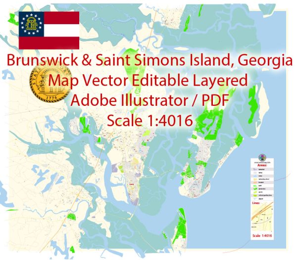
Brunswick and St. Simons Island, located in Georgia, have distinct histories of urban development due to their different roles and geographic features. Here’s an overview of their respective histories:
Brunswick:
- Early Settlement: Brunswick’s history dates back to the early 18th century when General James Edward Oglethorpe founded the city as a British colonial port in 1738. The city was strategically located on the southeastern coast and became an important center for trade.
- Port City: Brunswick’s growth was closely tied to its role as a major seaport, serving as a hub for shipping and trade in the region. The city’s economy relied heavily on maritime activities, including the export of timber, rice, and other agricultural products.
- Civil War Impact: During the American Civil War, Brunswick suffered significant damage and economic decline, as did many other southern cities. After the war, the city faced the challenges of post-war reconstruction and adapting to a changing economy.
- Transportation and Industry: The late 19th and early 20th centuries saw the expansion of railroads and the development of industrial facilities in Brunswick, further connecting the city to broader markets. The city continued to play a significant role in trade and commerce.
- Modern Development: In the 20th century, Brunswick underwent various phases of urban development and revitalization efforts. It diversified its economy, and tourism became a significant industry. The city worked to preserve its historic district and waterfront areas, making them attractive to visitors.
- Community and Culture: Today, Brunswick is known for its diverse culture, historic charm, and natural beauty. The city’s urban development efforts have focused on preserving its historical assets and promoting tourism, while also addressing modern urban challenges.
St. Simons Island:
- Early Settlement: St. Simons Island has a history of human habitation dating back to pre-Columbian times. Spanish missionaries and English settlers arrived in the 16th and 17th centuries. The island was named after the 18th-century General James St. Clair, later Anglicized to “St. Simons.”
- Plantations: During the colonial period and antebellum era, the island was primarily used for plantation agriculture, with crops like cotton and rice. Slavery was prevalent in these plantations, shaping the island’s history.
- Civil War and Reconstruction: St. Simons Island saw the effects of the Civil War, with battles and occupation by Union forces. After the war, the island’s economy declined, and many former slaves became landowners.
- Resort Development: In the late 19th and early 20th centuries, St. Simons Island started to transform into a resort destination for the wealthy. The Jekyll Island Club and the construction of the King and Prince Hotel helped establish it as a popular vacation spot.
- Natural Beauty: St. Simons Island is known for its natural beauty, including beaches, marshes, and forests. Efforts have been made to preserve the island’s natural environment and its historical sites, making it an attractive destination for eco-tourism and heritage tourism.
- Modern Development: The island has seen modern development, including residential communities, golf courses, and commercial areas, but efforts have been made to maintain its unique character. Strict zoning and land-use regulations help preserve its aesthetic appeal.
Today, both Brunswick and St. Simons Island continue to evolve in response to economic, social, and environmental factors, while striving to preserve their historical heritage and natural beauty, making them popular destinations for tourists and residents alike.


 Author: Kirill Shrayber, Ph.D. FRGS