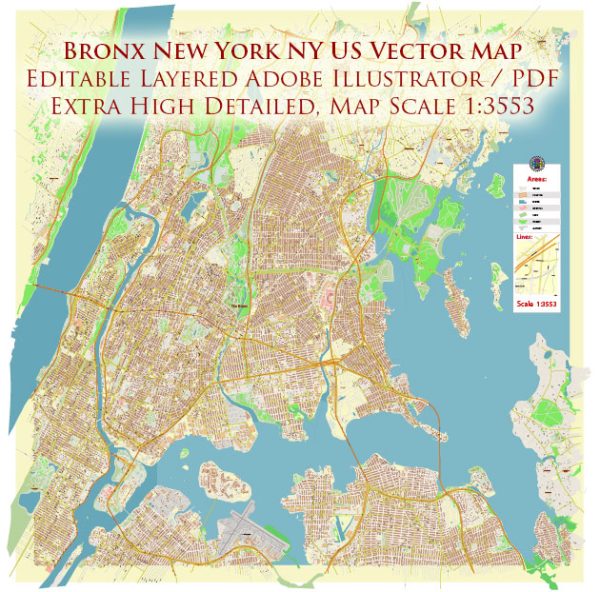
The Bronx, located in New York City, has a rich history of urban development that spans centuries. Here is a brief overview of its history:
- Early Settlement and Colonial Era:
- The Bronx was originally inhabited by Native American tribes, including the Lenape and Siwanoy, before the arrival of European settlers.
- The area was settled by the Dutch in the 17th century, and it was part of the New Netherland colony.
- After the British took control of New Netherland in 1664, the Bronx became part of the Province of New York.
- 19th Century:
- The Bronx remained largely rural during the 19th century, with farms, estates, and small communities.
- The construction of the Harlem River Ship Canal in the late 19th century improved transportation and led to some industrialization.
- Late 19th to Early 20th Century:
- The opening of the Bronx Zoo in 1899 and the New York Botanical Garden in 1891 added cultural and recreational attractions.
- The development of rapid transit lines, such as the Interborough Rapid Transit (IRT) subway, connected the Bronx to Manhattan, leading to increased residential development.
- Urban Expansion:
- During the early 20th century, the Bronx experienced significant urban development and population growth, with a wave of immigration and the construction of many apartment buildings.
- Neighborhoods like the South Bronx became known for their vibrant immigrant communities.
- Post-War Era and Decline:
- After World War II, there was a shift towards suburban living, leading to “white flight” as many middle-class residents left for the suburbs.
- The South Bronx, in particular, experienced severe urban decline and decay, marked by poverty, crime, and arson.
- Urban Renewal and Revitalization:
- In the late 20th century, efforts were made to revitalize the Bronx, including the construction of new housing, the renovation of old buildings, and investment in public infrastructure.
- The Bronx saw the creation of new cultural institutions and the revitalization of the waterfront areas.
- Recent Development:
- The Bronx has seen ongoing development and gentrification in some neighborhoods, with new residential and commercial projects.
- The Bronx has also become known for its diverse culture, with a rich mix of ethnic communities, cultural institutions, and events.
- Challenges and Opportunities:
- The Bronx continues to face challenges related to income inequality, affordable housing, and educational disparities.
- The borough’s development is marked by efforts to address these challenges, preserve its historic character, and encourage economic growth.
The history of urban development in the Bronx is a complex and evolving story, with periods of growth, decline, and revitalization. It reflects the broader trends in urban development in the United States, as well as the diverse and dynamic nature of New York City’s boroughs.


 Author: Kirill Shrayber, Ph.D. FRGS