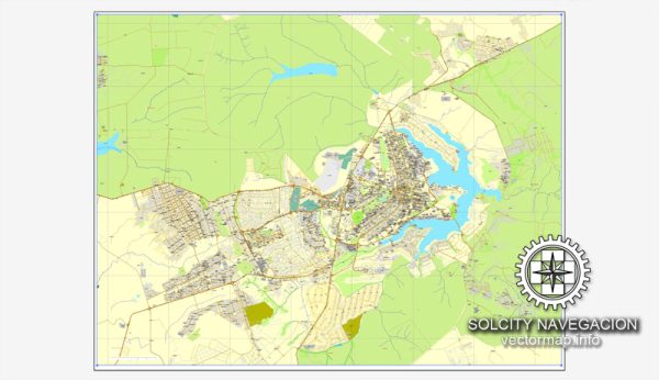
Brasília is the capital city of Brazil, known for its unique and modern urban development. Its history of urban development is a fascinating story of deliberate planning, design, and construction, which aimed to create a purpose-built capital city in the heart of the country. Here is an overview of Brasília’s history of urban development:
- The Vision:
- The idea of creating a new capital for Brazil dates back to the early 19th century. However, the concept gained serious traction during the mid-20th century, as then-President Juscelino Kubitschek decided to fulfill this vision. The location chosen for the new capital was a relatively undeveloped region in the interior of Brazil.
- Lucio Costa’s Plan:
- Lucio Costa, a renowned Brazilian urban planner and architect, was commissioned to design the city’s layout. He created a plan that was heavily influenced by modernist principles, with a strong emphasis on geometric shapes and functionality. The city’s layout was designed to resemble the shape of an airplane, with different sectors and superblocks organized along a central axis.
- Oscar Niemeyer’s Architecture:
- The renowned architect Oscar Niemeyer played a pivotal role in designing the city’s iconic government buildings. His futuristic and avant-garde designs for government structures and public spaces gave Brasília a distinctive, modern aesthetic. Notable buildings include the National Congress, the Presidential Palace, and the Cathedral of Brasília.
- Construction:
- Construction of Brasília began in the late 1950s, and it was a monumental effort. Workers from all over Brazil came to the region to build the city. The construction was completed at an impressive pace, and Brasília was officially inaugurated on April 21, 1960.
- Functional Sectors:
- The city was carefully planned to separate functions into distinct sectors. The Pilot Plan (Plano Piloto) contains the government buildings and commercial areas, while residential areas are located in satellite cities surrounding the central district. This segregation of functions was intended to create a more efficient and organized city.
- UNESCO World Heritage Site:
- In 1987, Brasília was designated a UNESCO World Heritage Site due to its unique urban planning and architectural significance. It’s celebrated as an example of modernist urban planning and design.
- Ongoing Development:
- Brasília continues to grow and evolve. It remains the political and administrative center of Brazil, with numerous government agencies, foreign embassies, and international organizations based in the city. The population has grown over the years, and efforts have been made to enhance infrastructure and public services.
Brasília’s history of urban development is a testament to the vision, planning, and execution of creating a modern, functional, and symbolic capital city in the heart of Brazil. It has left an indelible mark on the world of urban planning and architecture, and it remains a unique and iconic city in Brazil’s landscape.


 Author: Kirill Shrayber, Ph.D. FRGS