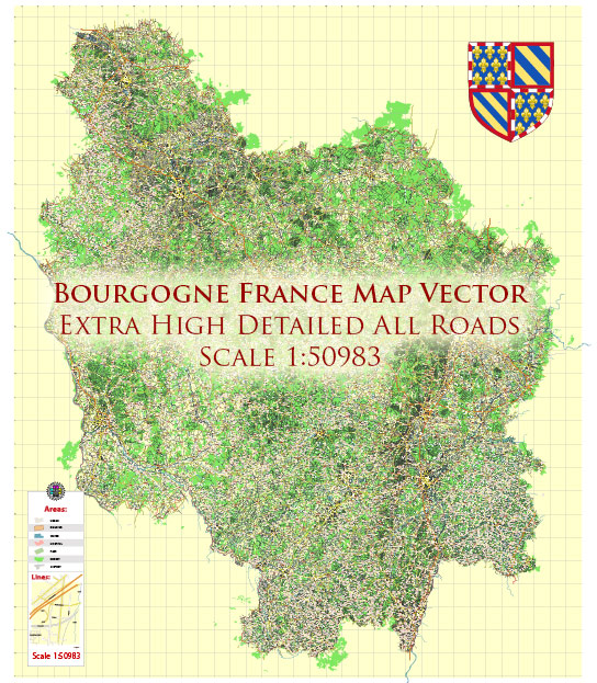
The history of urban development in Burgundy, France, is a fascinating journey that spans centuries and reflects the region’s rich cultural, economic, and architectural heritage. Burgundy, located in east-central France, is renowned for its vineyards, historic towns, and medieval architecture. Let’s explore the key stages of its urban development:
- Roman Era: The region’s history dates back to Roman times when it was part of the Roman province of Gallia Lugdunensis. Roman towns, such as Autun (formerly Augustodunum), were established with typical Roman infrastructure, including roads, fortifications, and temples.
- Medieval Period: The medieval era saw the rise of feudal lords and the establishment of numerous fortified towns and castles throughout Burgundy. Dijon, the regional capital, became a prominent center for trade and culture. Many of the charming, cobblestone streets and half-timbered houses that define Burgundian towns originate from this period.
- Renaissance: The 15th and 16th centuries marked the Renaissance in Burgundy, bringing a resurgence of culture and architecture. Dijon, under the rule of the Valois dukes, experienced a period of grand construction projects, including the Palace of the Dukes of Burgundy, showcasing a blend of Gothic and Renaissance architectural styles.
- 17th and 18th Centuries: During this period, the region’s urban centers continued to flourish, with a focus on classical architecture and town planning. Prominent landmarks, like the Hôtel-Dieu in Beaune, exemplify the opulence and elegance of this time.
- 19th Century: The Industrial Revolution had an impact on Burgundy, leading to the expansion of its urban centers and the introduction of new architectural styles. The historic towns still preserved their medieval and Renaissance charm, while some new districts embraced more modern designs.
- 20th Century: The 20th century brought urban renewal and modernization efforts to Burgundy’s cities. While some areas were modernized, there was a growing appreciation for historic preservation, and many towns adopted policies to safeguard their cultural heritage.
- Contemporary Era: Today, the urban development of Burgundy reflects a balance between preserving its rich history and adapting to the demands of modern life. The region remains a destination for cultural tourism, with well-preserved towns and villages, historic sites, and a thriving wine industry.
Notable cities and towns in Burgundy, such as Dijon, Beaune, Autun, and Vézelay, still showcase their historical character through their well-preserved architecture, town squares, and winding streets. The region’s vineyards and wine culture are also intertwined with its urban development, making it a unique and vibrant place to explore.
Overall, Burgundy’s urban development history is a testament to the region’s enduring connection to its past, its architectural diversity, and its ongoing commitment to preserving its cultural heritage.


 Author: Kirill Shrayber, Ph.D. FRGS