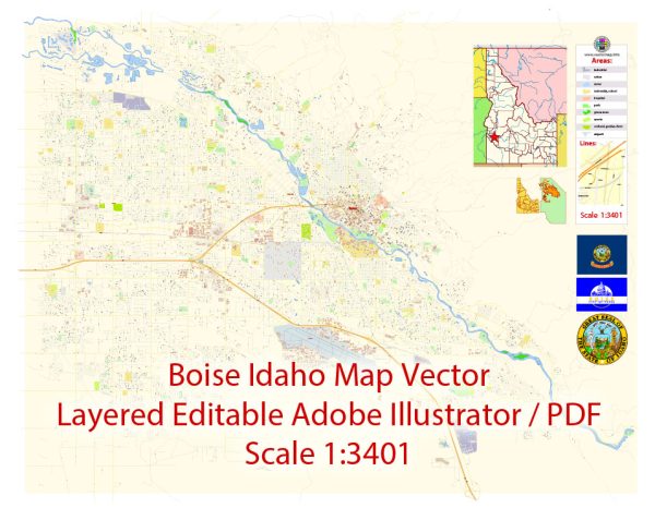
Boise, Idaho’s urban development has a rich history that reflects the growth and evolution of the city over the years. Here is a brief overview of the city’s urban development history:
- Early Settlement: Boise’s history as a city dates back to the mid-19th century when it was initially established as a military post during the Oregon Trail era. Fort Boise was constructed in 1863, and its presence played a crucial role in the city’s early development.
- Transportation: The development of transportation infrastructure, particularly the Oregon Trail and later the Oregon Short Line Railroad, played a pivotal role in the city’s growth. Boise became a transportation hub, which led to increased trade and migration to the area.
- Mining and Agriculture: The late 19th century saw the emergence of mining in the nearby Boise Basin, bringing people and economic activity to the region. Boise also became a center for agriculture, particularly in the production of potatoes and other crops, which remains an important part of the city’s economy.
- Capitol City: Boise was designated as the capital of the Idaho Territory in 1864, and this further fueled the city’s development. The construction of the Idaho State Capitol building in the early 20th century solidified Boise’s role as the state’s political and administrative center.
- Early 20th Century: The early 20th century witnessed significant urban development, including the establishment of parks, schools, and utilities. The North End neighborhood, known for its historic homes, was developed during this period.
- Post-World War II Growth: After World War II, Boise experienced substantial growth, like many other American cities. The expansion of the suburbs, increased car ownership, and the development of the interstate highway system contributed to the suburbanization of the city.
- Preservation and Renewal: In the late 20th century and early 21st century, Boise has seen efforts to preserve and revitalize its historic downtown, with a focus on pedestrian-friendly developments, urban parks, and cultural institutions. The Boise River Greenbelt, a system of parks and paths along the river, is a testament to the city’s commitment to quality of life and environmental stewardship.
- Economic Diversification: Boise’s economy has diversified over the years, with a focus on technology, healthcare, and education. The city has attracted companies in these sectors, leading to population growth and a more diversified workforce.
- Ongoing Challenges: As Boise continues to grow, it faces challenges related to housing affordability, traffic congestion, and managing urban sprawl. City planners and leaders are working to address these issues while preserving the city’s unique quality of life.
Boise’s urban development history is a reflection of its evolution from a small frontier town to a vibrant and growing city with a strong economy and cultural identity. The city’s commitment to preserving its history and natural resources while fostering modern development has contributed to its appeal as a place to live, work, and visit.


 Author: Kirill Shrayber, Ph.D. FRGS