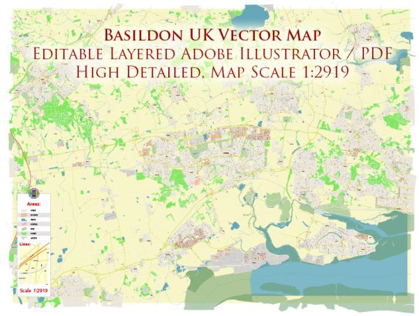
The history of urban development in Basildon, a town located in Essex, United Kingdom, is a relatively recent one, as the town’s growth and transformation into a modern urban center occurred mainly in the mid-20th century. Here’s an overview of the key milestones in Basildon’s urban development:
- Early History: Before the urban development of Basildon, the area was primarily agricultural and consisted of small villages and farmland. The town’s name is believed to have originated from the nearby Basildon Park, an estate with historical connections to the area.
- New Town Planning: The real transformation of Basildon began in the post-World War II period when the British government introduced a program for creating “New Towns” to address housing shortages and accommodate London’s growing population. Basildon was designated as a New Town in 1949 as part of the wider plan to decentralize and spread out London’s population. This designation marked the beginning of significant urban development in the area.
- Urban Expansion: Basildon was designed to be a modern, planned town with a focus on residential, commercial, and industrial development. The new town planning aimed to create a balanced community with a mix of housing, shopping areas, parks, and industrial zones.
- Housing: The construction of housing estates, such as Barstable, Fryerns, and Vange, took place during the 1950s and 1960s. These developments provided affordable housing for residents who were moving out of overcrowded parts of London.
- Infrastructure: The development of infrastructure in Basildon included the construction of roads, schools, healthcare facilities, and a town center. The Eastgate Shopping Centre, opened in the 1980s, became a central retail hub for the town.
- Industrial Growth: Basildon’s urban development also included the establishment of industrial estates and business parks, which attracted a range of businesses and provided employment opportunities. The town’s location, with good transportation links, was an advantage for industrial development.
- Cultural and Recreational Facilities: As the town grew, cultural and recreational facilities, including theaters, sports centers, and parks, were developed to serve the needs and interests of the community.
- Continued Growth: Basildon continued to grow and evolve throughout the latter half of the 20th century and into the 21st century. Residential developments expanded, and the town maintained its position as an important commuter town for people working in London.
- Challenges and Renewal: Like many urban areas, Basildon faced challenges, including urban decay in some areas. Efforts have been made to revitalize and regenerate parts of the town, including the Basildon Town Centre Regeneration Project, which aims to modernize and improve the town center.
- Suburban Community: Today, Basildon is a thriving suburban community with a mix of residential, commercial, and industrial areas. It remains a commuter town for those working in London and the surrounding areas.
The history of Basildon’s urban development is a testament to the planned and strategic growth of New Towns in the mid-20th century. It transformed a rural area into a modern, well-equipped town that has continued to evolve to meet the needs of its residents.


 Author: Kirill Shrayber, Ph.D. FRGS