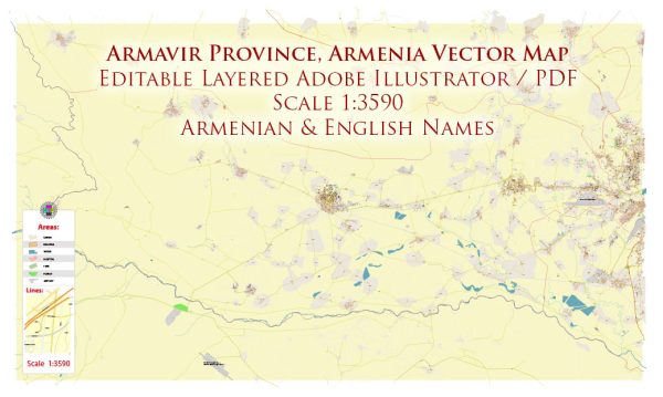
Armavir is a city located in the western part of Armenia, and it has a history of urban development that dates back centuries. The city’s history reflects the broader historical and cultural evolution of the region. Here is a brief description of the history of urban development in Armavir, Armenia:
- Ancient Origins: The area around Armavir has been inhabited for thousands of years. In ancient times, it was part of the historical region of Urartu, where settlements and fortifications existed. The city’s name itself has its roots in antiquity, as it is believed to be named after Armavir, one of the four ancient capitals of Urartu.
- Medieval Period: During the Middle Ages, Armavir and the surrounding region were part of various Armenian kingdoms and empires. The area was dotted with monasteries, fortresses, and agricultural settlements, which contributed to the development of the region.
- Ottoman and Persian Rule: Armavir, like much of Armenia, came under the control of the Ottoman Empire and later the Persian Empire at different times in its history. During these periods, the city’s development was influenced by the policies and governance of these empires.
- Russian Empire: In the early 19th century, Armavir and the surrounding region became part of the Russian Empire as a result of the Russo-Persian Wars. The Russian Empire’s presence led to some modernization and urban development in the area.
- Soviet Era: After the Russian Revolution of 1917, Armenia became a part of the Soviet Union. Armavir saw further development and industrialization during this period. The city became an important center for agriculture and industry, with the establishment of collective farms, factories, and infrastructure.
- Post-Soviet Era: With the dissolution of the Soviet Union in 1991, Armenia gained its independence. This marked a period of political and economic transition, which had an impact on the urban development of Armavir and other cities in the country. New challenges and opportunities emerged during this time.
- Modern Times: Today, Armavir continues to evolve and develop as a regional center. It serves as an administrative, cultural, and economic hub in the Armavir Province of Armenia. The city has witnessed various infrastructure projects, the growth of businesses, and cultural developments.
Armavir’s history is intertwined with the broader history of Armenia, and its urban development reflects the influence of various empires and governments over the centuries. Today, Armavir stands as a dynamic city that represents the resilience and adaptability of the Armenian people throughout their history.


 Author: Kirill Shrayber, Ph.D. FRGS