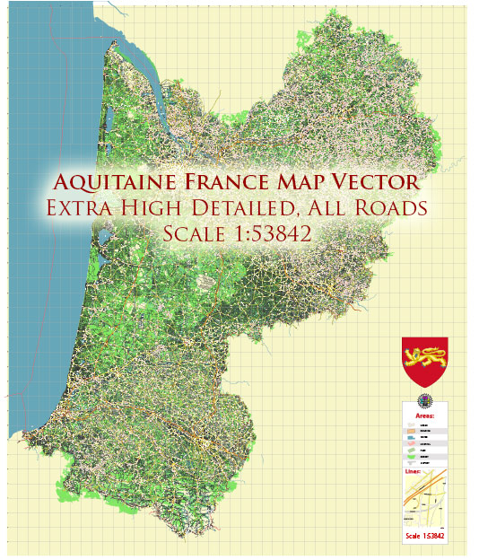
Aquitaine is a historic region in the southwest of France that has a rich history of urban development. The region has been inhabited for thousands of years, and its cities and towns have played significant roles in the history of France. Here’s a brief overview of the history of urban development in Aquitaine:
- Roman Period: Aquitaine was originally inhabited by various Celtic and Iberian tribes before the Roman Empire’s expansion into the region in the 1st century BC. During the Roman period, several cities and towns were founded or expanded, including Burdigala (modern-day Bordeaux), which became a significant Roman port and administrative center. The Romans built roads, bridges, and aqueducts, leaving a lasting impact on the region’s urban infrastructure.
- Medieval Period: With the fall of the Roman Empire, Aquitaine was subject to various invasions and changes of rulers. In the 8th century, it came under the control of the Frankish Empire. During the Middle Ages, Aquitaine was known for its rich culture and trade. The region’s cities, including Bordeaux, Bayonne, and Périgueux, developed as important trading centers and fortified towns. Many medieval castles and fortifications were constructed during this period, some of which are still standing today.
- English Rule and the Hundred Years’ War: Aquitaine was ruled by the English during parts of the Hundred Years’ War (14th and 15th centuries). This period saw significant urban development in some cities, particularly Bordeaux, which had strong ties to England. The English influence on architecture and urban planning is still visible in parts of Aquitaine.
- Renaissance and Enlightenment: The Renaissance and Enlightenment eras brought cultural and architectural changes to the region. Aquitaine’s cities began to see the construction of grand palaces, churches, and public buildings that reflected the architectural styles of the time. The city of Bordeaux, in particular, experienced significant growth and development during this period.
- Modern Era: In the 19th century, Aquitaine underwent urban renewal and expansion, with the construction of boulevards, parks, and grand buildings. The region’s cities continued to modernize and develop their infrastructure, adapting to the changing economic and social landscape.
- Contemporary Urban Development: In the 20th and 21st centuries, Aquitaine has continued to evolve as an important region in France. Bordeaux, in particular, has seen remarkable urban development and revitalization. The city’s historic core has been preserved, and modern infrastructure, including transportation networks and cultural institutions, has been developed to support the region’s growing population and economy.
Today, Aquitaine is known for its picturesque towns, historic architecture, and vibrant cities. The region’s rich history, combined with its natural beauty and cultural attractions, makes it a popular destination for tourists and a dynamic place for urban development and growth.


 Author: Kirill Shrayber, Ph.D.