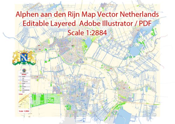
Alphen aan den Rijn is a city located in the province of South Holland, Netherlands. Its history of urban development can be traced back to Roman times, making it one of the oldest cities in the region. The city has a rich and varied history that has shaped its urban development over the centuries. Here is a brief description of the history of urban development in Alphen aan den Rijn:
- Roman Origins: The history of Alphen aan den Rijn dates back to the Roman period, where a settlement known as “Albaniana” was established along the banks of the river Oude Rijn. This Roman settlement served as a crossing point for the river and played a vital role in the Roman road network.
- Middle Ages: During the Middle Ages, Alphen aan den Rijn continued to be a small and primarily agricultural settlement. The river Oude Rijn remained a central feature, and the town grew around it. The development of the city was influenced by its proximity to waterways and the presence of fertile land.
- Industrial Revolution: The 19th century brought significant changes to the city’s urban development. The Industrial Revolution led to the growth of various industries, including shipbuilding and manufacturing. The city’s economy diversified, and urbanization increased.
- 20th Century: Alphen aan den Rijn saw substantial urban development in the 20th century. The city expanded as residential areas and neighborhoods were developed to accommodate a growing population. Infrastructure improvements, such as the construction of roads and bridges, further facilitated the city’s development.
- Modern City: Today, Alphen aan den Rijn is a modern city with a mix of historical and contemporary architecture. The city center features a combination of older buildings, canals, and modern amenities, while the outskirts have more recent developments with modern housing, schools, and shopping centers. The city’s transportation networks, including highways and railways, connect it to nearby cities like Leiden and Amsterdam.
- Recreational Areas: Alphen aan den Rijn is also known for its parks and recreational areas, which have been carefully integrated into the urban landscape. The Zegersloot recreational area, for example, offers opportunities for water sports, hiking, and cycling, providing residents with green spaces and leisure activities.
- Alphen aan den Rijn continues to experience urban development and modernization. The city is committed to maintaining its historical character while accommodating the needs of its growing population.
Please note that developments in the city may have occurred since my last update, so it’s a good idea to consult more recent sources for the latest information on the urban development of Alphen aan den Rijn.


 Author: Kirill Shrayber, Ph.D.