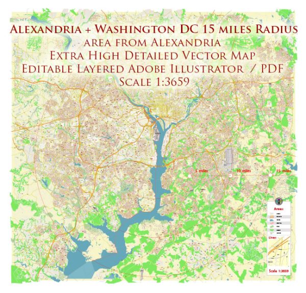
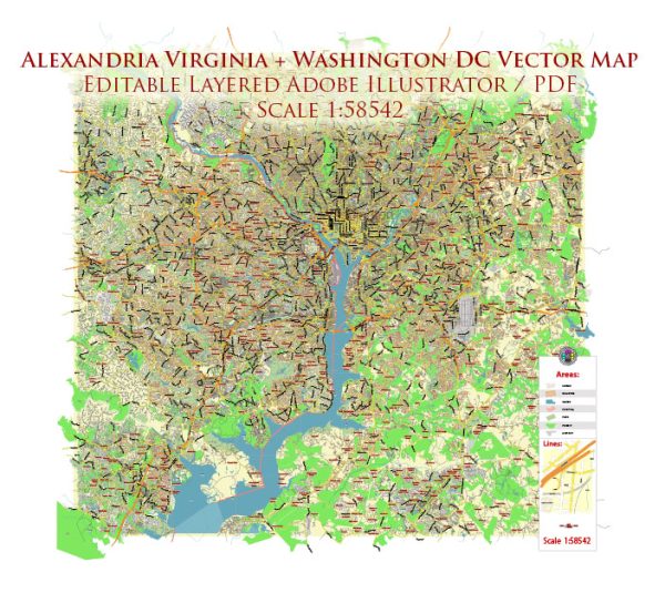
The urban development history of Alexandria, Virginia, and Washington, D.C., is intertwined and closely linked due to their proximity and shared history. Here is an overview of their development:
Alexandria, Virginia:
- Colonial Era: Alexandria was founded in 1749 by Scottish merchants and quickly became a major port city. It was an essential trading post for goods and tobacco.
- 19th Century: Alexandria continued to flourish during the early 19th century, serving as a major transportation hub with its well-developed waterfront and connections to the Potomac River.
- Civil War: The Civil War had a significant impact on Alexandria. In 1861, Union forces occupied the city, leading to the construction of Fort Ward and other fortifications. The city’s economy suffered during the conflict.
- Post-Civil War: After the war, Alexandria started to recover and expand. The city saw the development of new industries, including manufacturing and shipbuilding. It also began to establish a modern infrastructure.
- 20th Century: The city continued to grow, and it played an important role during World War II as a hub for military operations and logistics. Suburbanization in the latter half of the 20th century led to the construction of highways and shopping centers, changing the city’s landscape.
- Preservation: Alexandria has made efforts to preserve its historic district, which includes well-preserved 18th- and 19th-century buildings and cobblestone streets.
Washington, D.C.:
- Founding: Washington, D.C., was chosen as the capital of the United States in 1790 and was designed by Pierre L’Enfant. The city’s layout, characterized by wide boulevards and prominent landmarks, was influenced by European city planning.
- Early Development: In the early 19th century, Washington, D.C., saw significant development, including the construction of government buildings like the U.S. Capitol and the White House. Slavery played a significant role in the city’s economy.
- Civil War and Reconstruction: The Civil War had a major impact on the city as it became a critical center for wartime activities. After the war, the city underwent a period of reconstruction and expansion.
- 20th Century: The 20th century brought significant growth and modernization to Washington, D.C., as it transformed into a major political, administrative, and cultural center. The construction of the National Mall, the expansion of government institutions, and urban renewal projects shaped the city’s development.
- Urban Renewal: Washington, D.C. experienced urban renewal projects in the mid-20th century, which led to the demolition of some historic neighborhoods, especially in Southwest D.C. The city also saw the construction of new federal office buildings and highways.
- Revitalization: In recent decades, there has been a renewed focus on preserving the city’s historic character while promoting economic development and revitalizing neighborhoods.
Both Alexandria and Washington, D.C., have rich histories, reflecting the broader historical events and trends in the United States. Today, they continue to evolve, blending their historic charm with modern urban development initiatives.


 Author: Kirill Shrayber, Ph.D. FRGS