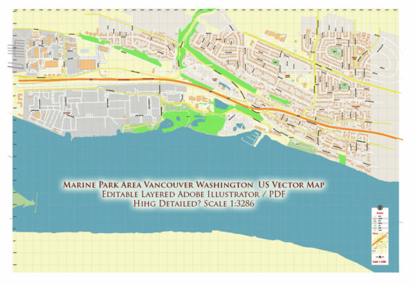
Vancouver, Washington, is home to several beautiful nature parks that offer a variety of outdoor recreational opportunities. Here are some of the prominent nature parks in the Vancouver area:
- Frenchman’s Bar Regional Park: This park is located along the Columbia River and offers stunning views of the water and Mount Hood. It features walking and biking trails, picnic areas, and a sandy beach for swimming and sunbathing. Birdwatchers will appreciate the diverse bird species found in this area.
- Salmon Creek Greenway Trail: This scenic trail follows the Salmon Creek and provides a peaceful environment for walking, jogging, and biking. It’s a great place for wildlife viewing and birdwatching, with a variety of waterfowl and other creatures in their natural habitat.
- Ridgefield National Wildlife Refuge: Just north of Vancouver, Ridgefield National Wildlife Refuge is a haven for bird enthusiasts and nature lovers. It’s home to a wide range of migratory birds and offers various hiking trails and observation points. The River ‘S’ Unit of the refuge features a boardwalk trail and an auto tour route.
- Lacamas Lake Regional Park: Located in nearby Camas, Washington, this park is known for its picturesque Lacamas Lake and surrounding woodlands. Visitors can explore several miles of trails suitable for hiking and mountain biking. The park also offers fishing, picnicking areas, and water activities like kayaking and paddleboarding.
- Vancouver Lake Regional Park: Vancouver Lake is a popular spot for boating, windsurfing, and swimming. The park has a sandy beach, picnic areas, and a playground for families to enjoy. The surrounding natural areas offer opportunities for birdwatching and leisurely walks.
- Captain William Clark Regional Park: Named after the famous explorer, this park is situated near the confluence of the Columbia and Washougal Rivers. It offers a boat launch, fishing, and a walking trail along the Columbia River. It’s a peaceful place to enjoy the water and the historic significance of the area.
- Fallen Leaf Lake Park: Located in the eastern part of Vancouver, this park features a serene lake surrounded by walking trails and picnic areas. It’s a great place for a quiet getaway and offers opportunities for birdwatching and wildlife observation.
These nature parks in Vancouver, Washington, provide a variety of outdoor experiences, from water-based activities to hiking and wildlife viewing. Whether you’re looking for a peaceful retreat or an active adventure, you’ll find something to enjoy in these natural settings.


 Author: Kirill Shrayber, Ph.D. FRGS