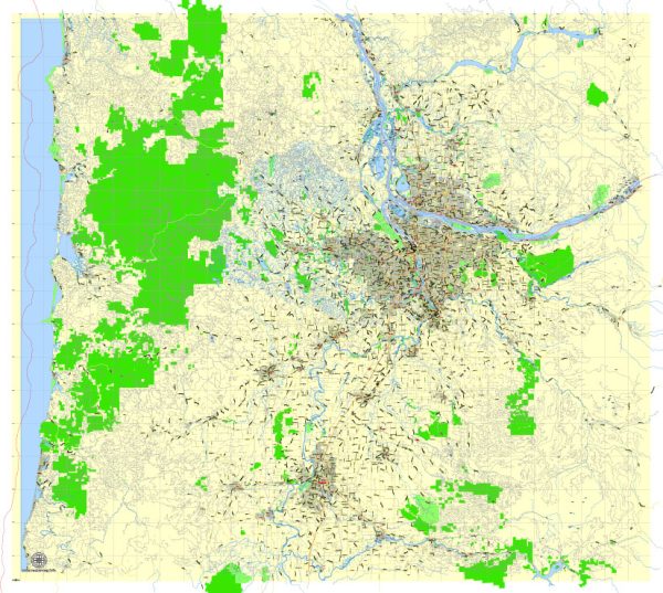
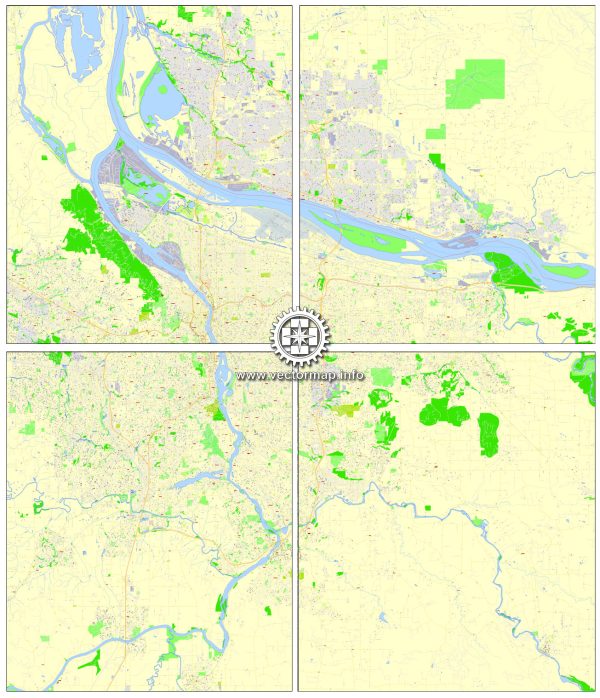
The state of Oregon, including cities like Portland, Vancouver, Oregon City, and Salem, is known for its stunning natural landscapes and a wide variety of nature parks and outdoor recreational opportunities. Here are some descriptions of nature parks and outdoor attractions in the region:
- Forest Park (Portland):
- Forest Park is one of the largest urban forest reserves in the United States, covering over 5,000 acres on the western edge of Portland.
- It offers a network of hiking and biking trails that wind through lush, old-growth forests, providing a serene escape from the urban environment.
- Mount Tabor Park (Portland):
- Mount Tabor Park is located in the heart of Portland and features the extinct cinder cone volcano, Mount Tabor, with numerous walking trails and reservoirs.
- Visitors can enjoy panoramic views of the city, picnic areas, and recreational facilities like playgrounds and basketball courts.
- Columbia River Gorge:
- Located near both Portland and Vancouver, the Columbia River Gorge is a spectacular natural wonder with numerous waterfalls, hiking trails, and scenic overlooks.
- Popular destinations in the Gorge include Multnomah Falls, Bridal Veil Falls, and the historic Columbia River Highway.
- Mount Hood National Forest:
- Located not far from the Portland metro area, Mount Hood National Forest offers a wide range of outdoor activities, including hiking, camping, skiing, and snowboarding.
- Mount Hood itself is an iconic volcanic peak with multiple trails leading to its summit.
- Silver Falls State Park (Near Salem):
- Silver Falls State Park, often called the “crown jewel” of the Oregon State Park system, features a unique Trail of Ten Falls, where hikers can see ten stunning waterfalls along a single loop.
- The park is known for its lush greenery, forested canyons, and opportunities for picnicking and camping.
- Willamette Mission State Park (Near Salem):
- This state park offers a serene natural environment along the Willamette River, making it a great spot for bird-watching, hiking, and picnicking.
- It also contains the historic Willamette Mission, which was the first mission for Native Americans in the Oregon Country.
- Mount St. Helens National Volcanic Monument (Within driving distance from all these cities):
- Mount St. Helens, an active volcano, erupted in 1980, resulting in a dramatic change to the landscape.
- The National Volcanic Monument offers visitors the opportunity to explore the area’s geological history through hiking and educational programs.
These are just a few of the many nature parks and outdoor attractions in the region. The Pacific Northwest is known for its natural beauty and abundant opportunities for outdoor enthusiasts and nature lovers. Please check with local authorities or park websites for the most up-to-date information on park access, hours, and any fees that may apply.


 Author: Kirill Shrayber, Ph.D. FRGS