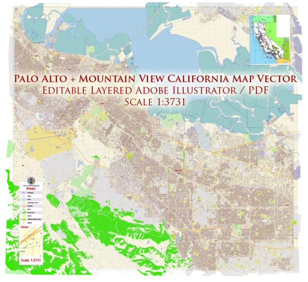
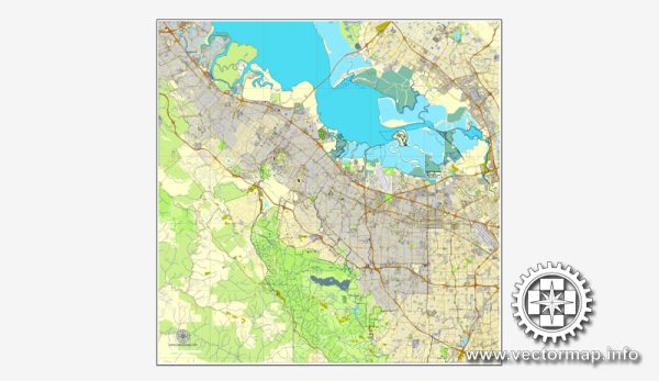
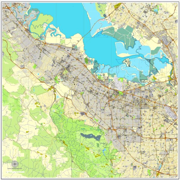
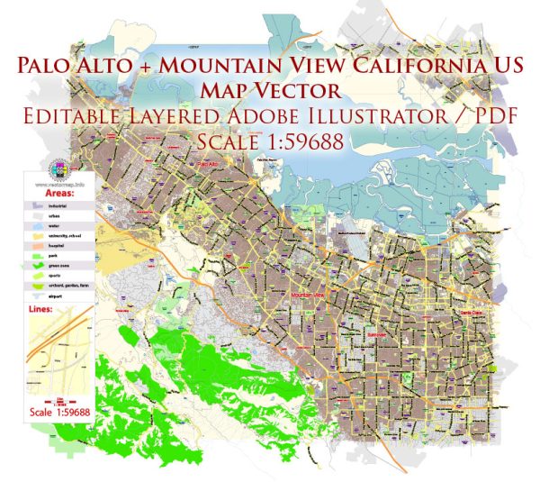
Palo Alto and Mountain View, both located in the heart of California’s Silicon Valley, are known for their vibrant tech communities and proximity to the beautiful natural landscapes of the San Francisco Bay Area. While these cities are not typically associated with large national parks, they offer several nature parks and reserves where residents and visitors can enjoy the great outdoors. Here’s a brief description of some of the nature parks in the area:
- Rancho San Antonio Open Space Preserve:
- Location: Primarily in Los Altos, adjacent to both Palo Alto and Mountain View.
- Description: This expansive open space preserve covers over 4,000 acres and offers a network of hiking trails with various difficulty levels. It’s a great place for hiking, birdwatching, and enjoying the natural beauty of the Santa Clara Valley. The park features rolling hills, oak woodlands, and even a deer population.
- Shoreline at Mountain View:
- Location: In Mountain View, along the shoreline of the San Francisco Bay.
- Description: This park combines outdoor recreation with scenic views of the bay. It includes a large lake, picnic areas, walking and biking trails, and a golf course. Birdwatchers often visit to observe the many species that frequent the area, and the park also hosts various events and festivals throughout the year.
- Pearson-Arastradero Preserve:
- Location: Straddling the border of Palo Alto and Los Altos.
- Description: This nature preserve offers a peaceful escape from the bustling city life of Palo Alto. It has a variety of trails that wind through grasslands and oak woodlands. Visitors can go hiking, mountain biking, and even horseback riding on some designated trails.
- Arastradero Preserve:
- Location: Located near Palo Alto, adjacent to the Pearson-Arastradero Preserve.
- Description: This smaller preserve features walking and equestrian trails that pass through a mix of grasslands and woodlands. It’s a peaceful place for a leisurely stroll or a short hike, and it’s known for its wildflower displays in the spring.
- The Dish (Stanford Dish Loop):
- Location: Adjacent to the Stanford University campus in Palo Alto.
- Description: The Dish is a popular spot for outdoor enthusiasts and joggers. The main attraction is the large radio telescope, which sits atop the hills overlooking the Stanford campus. Visitors can take a 3.5-mile loop trail that offers panoramic views of the surrounding area.
While these parks may not be large national parks, they provide locals and visitors in Palo Alto and Mountain View with opportunities to connect with nature, enjoy outdoor activities, and escape the urban environment of Silicon Valley. The San Francisco Bay Area is also home to larger natural treasures like the Santa Cruz Mountains, Big Basin Redwoods State Park, and various other regional parks and open spaces, all within a relatively short drive from these cities.


 Author: Kirill Shrayber, Ph.D.