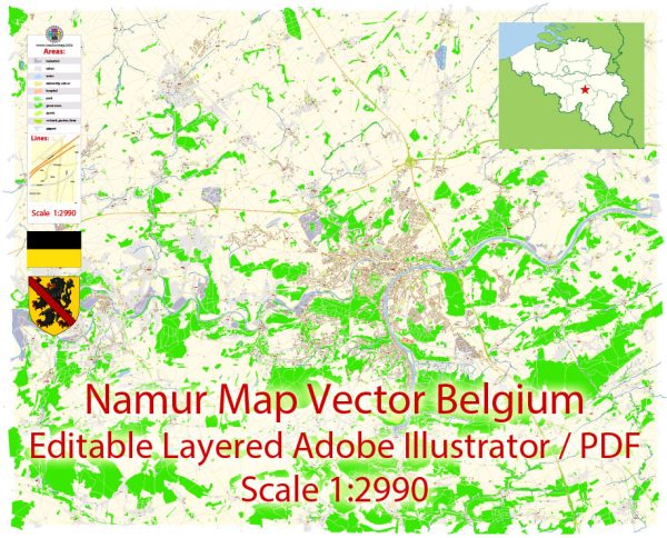
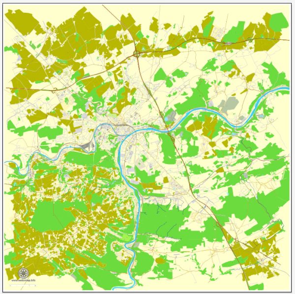
Namur, a charming city located in the Wallonia region of Belgium, is surrounded by beautiful natural landscapes and offers several nature parks and outdoor destinations for visitors and locals to enjoy. Here are some of the prominent nature parks and areas in and around Namur:
- Parc de la Boverie: Located in the heart of Namur, Parc de la Boverie is a picturesque urban park situated on an island in the River Meuse. The park features lush greenery, walking paths, and beautiful views of the river. It’s a great place for a leisurely stroll, picnics, and relaxation.
- Citadelle de Namur: This historic fortress, perched on a hill overlooking Namur, offers not only a rich historical experience but also stunning natural surroundings. Visitors can explore the fortifications and enjoy panoramic views of the city and the River Meuse. The surrounding area is also great for hiking and enjoying the natural beauty.
- Les Jardins d’Annevoie: Located about 25 kilometers from Namur, Les Jardins d’Annevoie is a beautiful water garden dating back to the 18th century. It features a series of ornate fountains, waterfalls, and lush greenery, making it a serene and photogenic natural attraction.
- Bois de la Vecquée: This forested area is ideal for hiking and outdoor activities. It’s located just a short drive from Namur and provides a peaceful escape into nature. You can explore the forested trails and enjoy the fresh air.
- Domaine de Chevetogne: Located approximately 30 kilometers from Namur, Domaine de Chevetogne is a vast park with diverse natural landscapes, including forests, ponds, gardens, and playgrounds. It’s an excellent destination for families, hikers, and nature enthusiasts.
- Ardennes Region: Namur is also a gateway to the Ardennes, a stunning region known for its rolling hills, dense forests, and charming villages. This area is perfect for outdoor activities like hiking, cycling, and exploring the great outdoors.
These are just a few examples of the nature parks and natural attractions in and around Namur, Belgium. The region offers a rich variety of landscapes, from urban parks to historic fortresses and expansive forests, making it a great destination for nature lovers and those seeking outdoor adventures.


 Author: Kirill Shrayber, Ph.D. FRGS