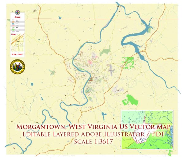
Morgantown, West Virginia, is surrounded by beautiful natural landscapes and parks that offer a wide range of outdoor recreational opportunities. Here are some of the notable nature parks and areas in and around Morgantown:
- Coopers Rock State Forest: Coopers Rock is one of the most popular natural attractions in the Morgantown area. It covers over 12,000 acres and offers a variety of activities, including hiking, rock climbing, picnicking, and wildlife viewing. The park is known for its impressive overlooks, including the famous Coopers Rock Overlook, which provides stunning views of the Cheat River Gorge.
- Chestnut Ridge Regional Park: This park features miles of hiking and mountain biking trails, as well as a dedicated disc golf course. It’s a great place for those looking to explore the outdoors and enjoy the forested scenery.
- Decker’s Creek Trail: This scenic rail-trail follows Decker’s Creek, providing a lovely path for walking, jogging, cycling, and birdwatching. The trail connects Morgantown to Reedsville and offers a mix of urban and natural surroundings.
- Dorsey’s Knob Park: This small park offers panoramic views of Morgantown and the Monongahela River. It’s a great place for a short hike, a picnic, or simply enjoying the serene atmosphere.
- Core Arboretum: Located on the West Virginia University campus, the Core Arboretum is a peaceful natural area along the Monongahela River. It features walking trails, plant collections, and opportunities for birdwatching and educational programs.
- Cooper’s Rock Wildlife Management Area: Adjacent to Coopers Rock State Forest, this area provides additional opportunities for hunting, fishing, and wildlife viewing. It’s a well-preserved natural space in the region.
- Raven Rock Trail: This trail, within Coopers Rock State Forest, is a popular hiking destination. It leads to a stunning overlook that offers picturesque views of the surrounding landscape.
- Snake Hill Wildlife Management Area: This area, located just south of Morgantown, is ideal for those interested in hunting, fishing, and wildlife observation.
- Valley Falls State Park: Although a bit farther from Morgantown, Valley Falls State Park is worth the drive. It offers a waterfall, hiking trails, and opportunities for picnicking and birdwatching.
These natural areas in and around Morgantown, West Virginia, provide a wide range of outdoor experiences for nature enthusiasts, hikers, birdwatchers, and anyone looking to connect with the beautiful landscapes of the region. Whether you’re interested in scenic overlooks, hiking, or simply relaxing in a natural setting, there are plenty of options to explore.


 Author: Kirill Shrayber, Ph.D. FRGS