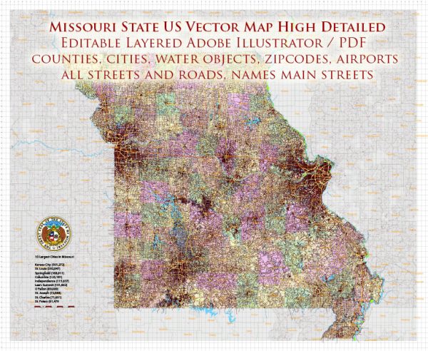
Missouri is a landlocked state located in the Midwestern United States, so it doesn’t have direct access to major oceans or seas. However, it has a network of rivers and other waterways that play an important role in the state’s transportation, recreation, and natural resources. Here is a description of some of the key waterways in Missouri:
- Mississippi River: The eastern border of Missouri is defined by the mighty Mississippi River, one of the longest rivers in North America. The river serves as a major transportation route for goods, and it has a rich history in the state, playing a significant role in trade, travel, and settlement.
- Missouri River: The Missouri River is another major waterway that flows through the state. It is the longest river in North America, originating in Montana and flowing eastward to join the Mississippi River in Missouri. The Missouri River has been a vital transportation and trade route throughout history and is known for its diverse ecosystems.
- Ozark Lakes: Missouri is known for its picturesque Ozark Mountains, which are home to numerous lakes and reservoirs. Some of the notable ones include Table Rock Lake, Lake of the Ozarks, and Bull Shoals Lake. These lakes are popular destinations for boating, fishing, and water recreation.
- Meramec River: The Meramec River is a significant tributary of the Mississippi River in eastern Missouri. It meanders through the Ozarks and offers opportunities for canoeing, kayaking, and tubing. The Meramec Caverns, located along the river, are a popular tourist attraction.
- Osage River: The Osage River flows through central Missouri and is a major tributary of the Missouri River. It provides access to the Lake of the Ozarks and serves as a transportation route for goods and a recreational area for boating and fishing.
- Current River: The Current River is a clear, spring-fed river located in southeastern Missouri. It is part of the Ozark National Scenic Riverways, a protected area that offers pristine and scenic float trips, hiking, and camping opportunities.
- St. Francis River: The St. Francis River flows through southeastern Missouri and serves as a border with Arkansas. It is a popular destination for canoeing and kayaking, known for its scenic beauty and diverse wildlife.
These waterways play a vital role in Missouri’s economy, providing transportation for goods, supporting tourism and outdoor recreation, and contributing to the state’s natural beauty and biodiversity. They are also integral to the state’s history and culture, and many Missourians enjoy boating, fishing, and other water-related activities in these rivers and lakes.


 Author: Kirill Shrayber, Ph.D. FRGS