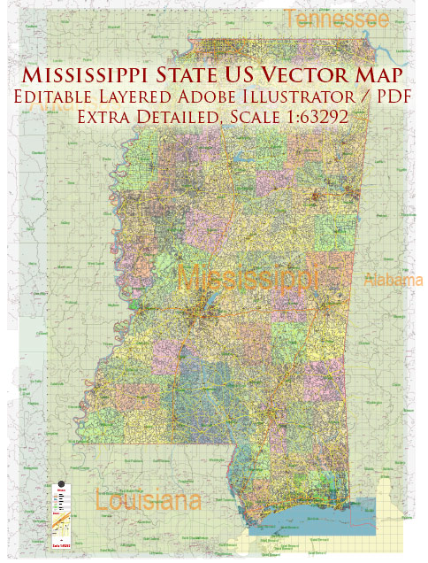
Mississippi is not known for having national parks like some other states in the United States, such as Yellowstone or the Grand Canyon. However, it does have a number of national historic sites, national forests, and other protected areas that showcase the state’s cultural and natural heritage. Here are a few notable sites and areas in Mississippi:
- Natchez Trace Parkway: The Natchez Trace Parkway is a 444-mile scenic highway that follows the historic Natchez Trace, which was an important travel route for Native Americans and early European explorers. The parkway offers beautiful scenery, historical sites, and opportunities for outdoor activities like hiking, cycling, and bird watching.
- Vicksburg National Military Park: Located in Vicksburg, this park commemorates the Civil War Battle of Vicksburg. It features a museum, numerous monuments, and well-preserved earthworks and fortifications.
- Gulf Islands National Seashore: While the majority of this national seashore is located in Florida, a portion extends into Mississippi. Visitors can enjoy pristine beaches, barrier islands, and various outdoor activities such as swimming, camping, and birdwatching.
- Brices Cross Roads National Battlefield Site: This site marks the location of a Civil War battle fought in 1864. It provides historical information and a walking trail for visitors interested in learning more about the conflict.
- Mississippi National Forests: Mississippi is home to two national forests, the De Soto National Forest and the Homochitto National Forest. These forests offer opportunities for hiking, camping, fishing, and wildlife viewing.
- Natchez National Historical Park: This park consists of three units, including Fort Rosalie, the William Johnson House, and Melrose. It preserves the history and culture of Natchez, a city known for its historic architecture and antebellum plantations.
While Mississippi may not have the same kind of iconic national parks as some other states, it still offers a rich blend of historical and natural sites that can be explored and enjoyed by visitors interested in the region’s unique cultural and environmental heritage.


 Author: Kirill Shrayber, Ph.D. FRGS