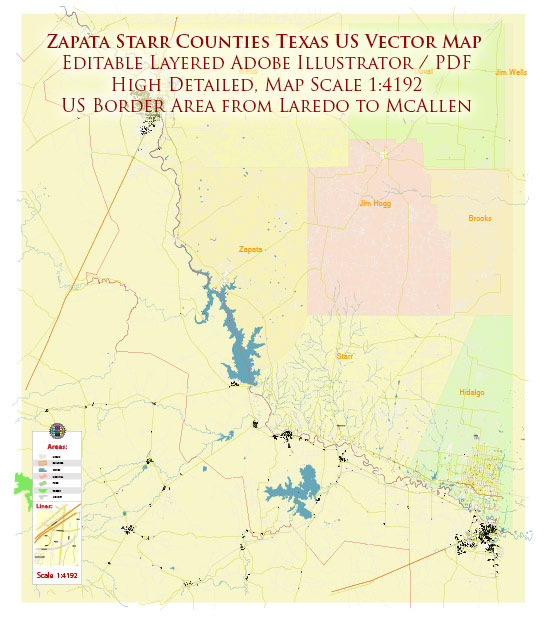
Zapata and Starr counties in Texas, United States, are located in the southern region of the state, close to the Mexican border. While these counties may not have well-known national parks like some other parts of Texas, they do offer a variety of natural attractions and outdoor opportunities. Here are some of the notable natural areas and parks in Zapata and Starr counties:
- Falcon State Park: Falcon State Park is located on the shores of Falcon Reservoir, a large water body created by damming the Rio Grande River. The park offers a variety of outdoor activities, including fishing, boating, picnicking, camping, and birdwatching. The park is known for its abundant birdlife, making it a great destination for bird enthusiasts.
- Falcon Dam: Falcon Dam itself is an attraction in the area, as it forms the reservoir that provides opportunities for water-based activities. You can fish from the shore or by boat, and the lake is known for its excellent bass fishing.
- Chapeno Wildlife Management Area: This area is managed by the Texas Parks and Wildlife Department and provides habitat for wildlife and opportunities for hunting, birdwatching, and nature observation. It is an excellent place to see native wildlife in their natural habitat.
- Santa Ana National Wildlife Refuge (located nearby in Hidalgo County): While not within Zapata or Starr counties, Santa Ana National Wildlife Refuge is relatively close and well worth a visit. This refuge is known for its exceptional birdwatching opportunities, with numerous species of birds, butterflies, and other wildlife. It also features walking trails and an informative visitor center.
- Las Palomas Wildlife Management Area: This area provides opportunities for hunting and wildlife viewing. It’s part of the larger network of wildlife management areas in the region, managed by the Texas Parks and Wildlife Department.
While these counties may not have the traditional notion of “nature parks” in the way that national parks are recognized, they offer a unique and diverse range of outdoor experiences for nature enthusiasts. The proximity to the Rio Grande River and the Mexican border also adds cultural and geographical richness to the region, making it an intriguing destination for those interested in the natural beauty of South Texas. Remember to check for park hours, access, and seasonal variations in activities before planning your visit.


 Author: Kirill Shrayber, Ph.D. FRGS