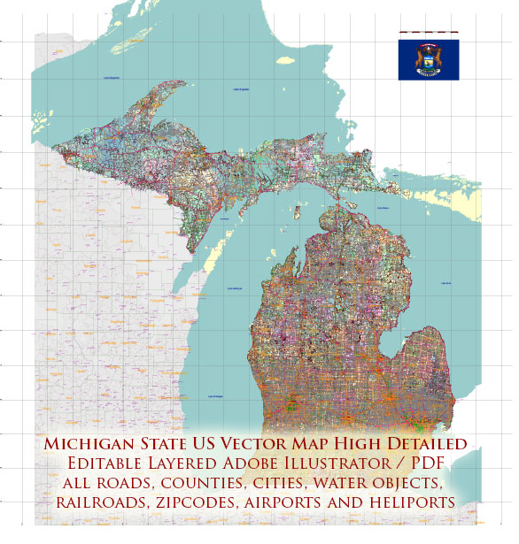
Michigan is home to a diverse range of natural landscapes, and while it doesn’t have any national parks, it does have several national lakeshores, national forests, and other protected areas that offer stunning outdoor experiences. Here are some of the notable ones:
- Sleeping Bear Dunes National Lakeshore: Located along the eastern shore of Lake Michigan, this national lakeshore is known for its towering sand dunes, scenic bluffs, and pristine beaches. Visitors can hike through forests, climb the dunes, and take in breathtaking views of the lake. The park also has numerous trails and campgrounds for outdoor enthusiasts.
- Pictured Rocks National Lakeshore: Situated along Lake Superior’s southern shore, this national lakeshore features colorful sandstone cliffs, sea caves, waterfalls, and pristine forests. Visitors can explore the dramatic shoreline by hiking, kayaking, or taking boat tours to witness the natural beauty of the area.
- Isle Royale National Park: While technically located in Lake Superior, Isle Royale is often associated with Michigan. It is the only national park in the state and consists of an archipelago of islands. The park is known for its rugged wilderness, wildlife, and backpacking opportunities. It’s a remote and pristine environment, making it a popular destination for hikers, boaters, and nature enthusiasts.
- Hiawatha National Forest: This national forest covers large portions of the Upper Peninsula of Michigan and offers opportunities for camping, hiking, fishing, and wildlife viewing. With its vast forests, rivers, and lakes, Hiawatha National Forest provides an ideal setting for outdoor activities.
- Huron-Manistee National Forests: These two national forests in northern Michigan cover a significant portion of the Lower Peninsula. They offer a variety of recreational opportunities, including hiking, camping, fishing, and boating. The forests are known for their beautiful woodlands, rivers, and numerous lakes.
While Michigan doesn’t have any national parks in the traditional sense, its national lakeshores and forests offer abundant natural beauty and recreational activities for visitors to explore and enjoy. These protected areas are valuable for preserving the state’s natural heritage and providing opportunities for outdoor enthusiasts and nature lovers.


 Author: Kirill Shrayber, Ph.D. FRGS