People of Alaska
Population composition
Thousands of years before Danish explorer Vitus Bering arrived in Alaska in 1741, the Tlingit and Haida peoples
were living in the southern and southeastern coastal area; the Unangax (Aleut) people on the Aleutian
Islands and the western Alaska Peninsula; the Inuit and Yupiit (Yupik) on the Bering shore and the
Arctic Ocean coast; and various Athabaskan-speaking peoples in the interior (see American Subarctic peoples).
The Tsimshian people of Metlakatla in the southeast migrated into Alaska from British Columbia during the latter
decades of the 19th century. According to the 2020 census, American Indians and Alaska Natives constitute
about 16 percent of the state’s population.
The remaining citizenry includes military personnel and their families and a melting pot of ethnicities.
The mixture of English, Russian, Spanish, and French place-names found in the state reflect its early
exploration by a variety of European countries.
The Russian-American Company brought the first Christian missionaries to Alaska; one of the most
famous of those was Innocent Veniaminov, who became Metropolitan Innocent of Moscow and was later
canonized. The Russian Orthodox Church converted many Alaska Natives to Christianity and today has
its main cathedral in Anchorage. Other noted Orthodox churches are in Unalaska and Sitka.
Kodiak is the site of one of the few Russian Orthodox seminaries in the United States.
Adherents to virtually all other Christian denominations exist in Alaska as well.
Most Alaskans in the interior are Roman Catholic or Episcopalian. The state also has smaller communities
of Jews and followers of other faiths. Traditional beliefs, known as shamanism, still exist without
being in conflict with other faiths.
Settlement patterns
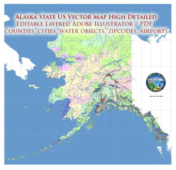
More than three-fifths of Alaskans live in the Greater Anchorage–Kenai Peninsula area
(including the Matanuska-Susitna borough north of Anchorage). That region is known for its milder
temperatures, proximity to the sea, ice-free ports, and petroleum and natural gas development.
It is also the centre of air, road, and rail transportation and the headquarters of Alaska’s major banks,
corporations, and federal and state administrative agencies.
More than one-eighth of the population lives in the Greater Fairbanks area, including the town of Delta Junction,
historically the centre of gold mining and the terminus of the Alaska Railroad, which runs from Seward to Fairbanks.
The larger cities of the south coastal archipelago and the Gulf of Alaska islands—Ketchikan, Petersburg, Sitka,
and Juneau—and surrounding areas also contain a significant portion of Alaska’s population and are fishing and tourism centres.
Many Alaskans also live in small communities situated along rivers, highways, or the coast.
Many of those are in Arctic and western Alaska, where the major settlements include Barrow (at Point Barrow),
Kotzebue, Nome, Bethel, Dillingham, Kodiak, and Unalaska—all of which experienced significant population growth
in the last quarter of the 20th century. Barrow is the major hub of the North Slope as well as the northernmost
town in the United States, and it has derived significant tax revenues from Prudhoe Bay oil.
Source: https://www.britannica.com/place/Alaska


 Author: Kirill Shrayber, Ph.D.