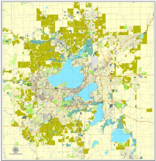
Madison, Wisconsin is known for its beautiful natural surroundings and numerous nature parks. Here are some of the most popular nature parks and their descriptions in and around Madison:
- University of Wisconsin Arboretum: Located on the western edge of Madison, the University of Wisconsin Arboretum is a 1,200-acre nature preserve that offers a variety of ecosystems, including woodlands, wetlands, and prairies. It’s a great place for hiking, bird-watching, and learning about native plants and wildlife. The Arboretum features numerous trails and interpretive displays.
- Devil’s Lake State Park: Just a short drive north of Madison, Devil’s Lake State Park is one of the most popular outdoor destinations in Wisconsin. The park surrounds a stunning glacial lake and offers opportunities for hiking, swimming, rock climbing, and picnicking. The park’s quartzite bluffs provide panoramic views of the lake and the surrounding area.
- Governor Nelson State Park: This park is situated on the shores of Lake Mendota and offers a variety of outdoor activities, including hiking, boating, fishing, and bird-watching. There are several scenic trails that wind through woodlands and along the lakeshore.
- Pheasant Branch Conservancy: Pheasant Branch Conservancy is a natural gem located in the city of Middleton, a suburb of Madison. It features a mix of wetlands, prairies, and woodlands. Visitors can explore miles of trails, making it a great spot for hiking, birding, and wildlife observation.
- Cherokee Marsh Conservation Park: This urban nature preserve in Madison is one of the largest wetlands in the city. It provides a unique opportunity to experience nature within an urban setting. Boardwalks and trails allow visitors to observe the diverse plant and animal life that thrive in the marsh.
- Indian Lake County Park: Located to the southwest of Madison, Indian Lake County Park offers a peaceful and scenic retreat. The park features a beautiful lake for fishing, swimming, and boating, as well as hiking and picnicking areas.
- Ice Age National Scenic Trail: The Ice Age Trail spans over 1,000 miles across Wisconsin, and a portion of it runs near Madison. This trail takes you through glacial landscapes, forests, and prairies, allowing for excellent long-distance hiking and backpacking.
These are just a few examples of the many nature parks and outdoor recreational areas in and around Madison, Wisconsin. The region is blessed with a wide variety of natural landscapes and offers numerous opportunities for outdoor enthusiasts to enjoy the beauty of the area.


 Author: Kirill Shrayber, Ph.D. FRGS