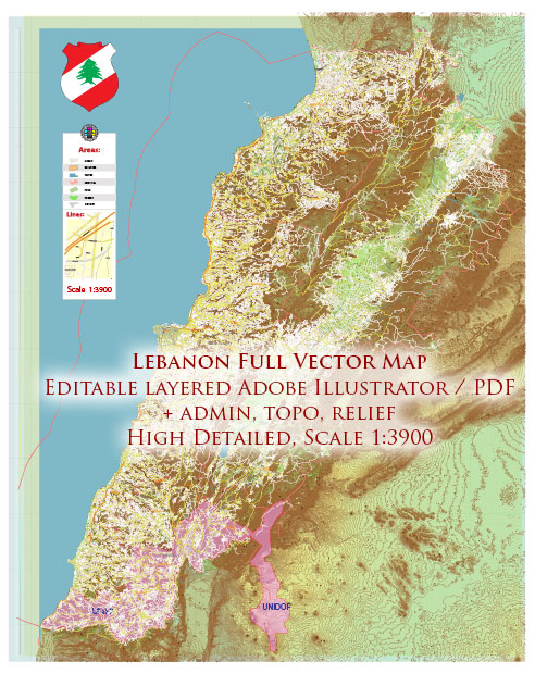
Lebanon is a small but incredibly diverse country with a rich natural landscape. While it doesn’t have as many national parks as some larger countries, it does have several protected areas and reserves that offer a wide range of natural beauty and biodiversity. Here are a few notable ones:
- Tannourine Cedars Forest Nature Reserve: Located in the Tannourine region of Mount Lebanon, this nature reserve is home to one of the last and most extensive cedar forests in Lebanon. The Tannourine Cedars are an ancient and iconic symbol of the country. The reserve also features hiking trails, waterfalls, and diverse wildlife.
- Horsh Ehden Nature Reserve: Situated in the northern part of Lebanon, near the town of Ehden, this reserve is known for its lush vegetation and diverse wildlife, including a variety of bird species. It is an important area for conservation and features hiking trails and picnic areas.
- Al-Shouf Cedar Nature Reserve: This is the largest nature reserve in Lebanon, encompassing the Shouf Mountain range in Mount Lebanon. It is known for its extensive cedar forests and diverse ecosystems. The reserve provides opportunities for hiking, wildlife observation, and camping.
- Tyre Coast Nature Reserve: Located in the southern city of Tyre (also known as Sour), this reserve protects a portion of the Mediterranean coastline and its associated marine life. Visitors can explore the coastal landscape and underwater biodiversity through diving and snorkeling activities.
- Palm Islands Nature Reserve: Situated off the coast of Tripoli in northern Lebanon, the Palm Islands are a group of small islands that are important for migratory birds and marine life. The reserve is known for its birdwatching and is a great place for those interested in ornithology.
- Qadisha Valley: While not an official national park or nature reserve, the Qadisha Valley is a UNESCO World Heritage Site located in northern Lebanon. It is a stunning and historically significant valley with deep gorges, cliffs, and numerous monasteries built into its rugged terrain.
These natural areas provide a chance to experience Lebanon’s diverse landscapes, from coastal areas to mountain regions, and to appreciate the country’s unique flora and fauna. Visitors can enjoy activities such as hiking, birdwatching, and exploring cultural and historical sites, making these natural areas an essential part of Lebanon’s environmental and cultural heritage.


 Author: Kirill Shrayber, Ph.D. FRGS