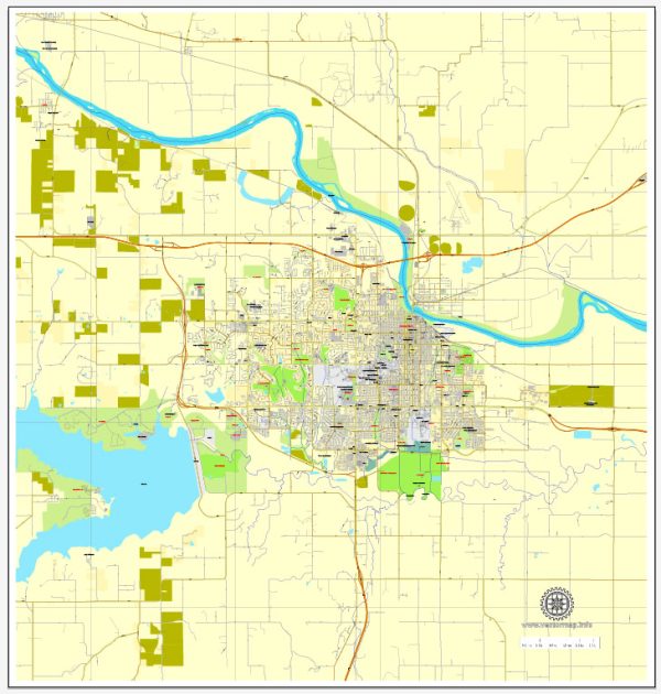
Lawrence, Kansas, offers several beautiful nature parks and recreational areas for residents and visitors to enjoy. These parks provide opportunities for outdoor activities, wildlife observation, and relaxation. Here are some of the notable nature parks in Lawrence:
- Clinton State Park: Located just outside Lawrence, Clinton State Park is a popular destination for outdoor enthusiasts. The park surrounds Clinton Lake and offers hiking trails, camping areas, fishing, boating, and picnicking spots. There are also a variety of wildlife species to observe.
- Douglas County State Fishing Lake: This 110-acre lake is a favorite spot for fishing, kayaking, and birdwatching. It’s a serene location for those who want a quiet escape and the chance to see local birdlife.
- Baker Wetlands: The Baker Wetlands, located to the south of Lawrence, is a unique and ecologically diverse area. It’s a great place for birdwatching, with numerous species of waterfowl, songbirds, and other wildlife. There are boardwalks and trails for visitors to explore the wetlands and learn about its ecological importance.
- Rock Chalk Park: This park features a sports complex with athletic facilities, but it also has green spaces and walking trails. It’s a great place for a leisurely walk or run, and the well-maintained grounds are inviting for picnics and relaxation.
- Holcom Park: Holcom Park offers a wide range of amenities, including a lake, playgrounds, sports fields, and walking trails. It’s a family-friendly park with plenty of space for recreational activities.
- Centennial Park: Located in downtown Lawrence, Centennial Park is a small but charming green space with walking paths, benches, and a gazebo. It’s a great place to take a break while exploring the city.
- Mary’s Lake: This serene and picturesque lake is situated within Prairie Park Nature Center. It’s a peaceful spot for birdwatching, fishing, or simply enjoying nature. The nature center itself offers educational exhibits and programs.
These parks provide a wide range of opportunities to connect with nature and enjoy the outdoors, whether you’re interested in hiking, birdwatching, water-based activities, or simply relaxing in a natural setting. Remember to check with local authorities or park websites for the latest information on park hours, regulations, and any seasonal events or programs.


 Author: Kirill Shrayber, Ph.D. FRGS