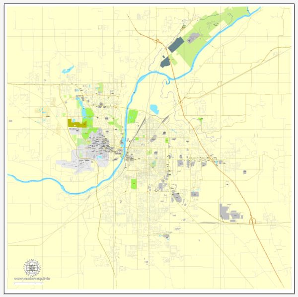
Lafayette, Indiana, and its surrounding areas offer several nature parks and outdoor recreational spaces where residents and visitors can enjoy the beauty of nature, engage in various outdoor activities, and unwind. Here are some nature parks and their descriptions in and around Lafayette, Indiana:
- Prophetstown State Park: Prophetstown State Park is a large and popular park located just outside of Lafayette. It offers a diverse range of outdoor activities, including hiking, picnicking, birdwatching, and fishing. The park is known for its tall prairie grasses and wetlands, making it an excellent place to observe native wildlife and plant species. There are also camping facilities and a nature center that provides educational opportunities for visitors.
- Celery Bog Nature Area: Celery Bog Nature Area is a hidden gem located within the city of West Lafayette. This wetland sanctuary features a picturesque boardwalk that winds through the wetlands, providing great opportunities for birdwatching and wildlife observation. It’s a peaceful place to explore and take a leisurely walk.
- The Farm at Prophetstown: The Farm at Prophetstown is a living history farm that showcases the agricultural practices of the 1920s. Visitors can experience life on an early 20th-century farm, including working with farm animals, tending to crops, and participating in various hands-on activities. The farm offers a unique and educational perspective on rural life in Indiana’s past.
- Wabash Heritage Trail: The Wabash Heritage Trail is a scenic multi-use trail that runs along the banks of the Wabash River, offering opportunities for walking, running, biking, and even horseback riding. The trail provides beautiful views of the river and the surrounding natural landscape.
- Clegg Memorial Garden: Clegg Memorial Garden is a serene and well-maintained garden located in Lafayette. This beautiful garden features a wide variety of flowers, shrubs, and trees, making it a perfect spot for a relaxing stroll or a peaceful picnic. It’s also a popular location for photography and outdoor events.
These nature parks and outdoor spaces in Lafayette, Indiana, provide a diverse range of options for outdoor enthusiasts and nature lovers. Whether you’re interested in hiking, birdwatching, or simply enjoying a peaceful day in the natural surroundings, Lafayette has something to offer for everyone.


 Author: Kirill Shrayber, Ph.D. FRGS