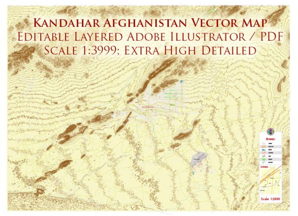
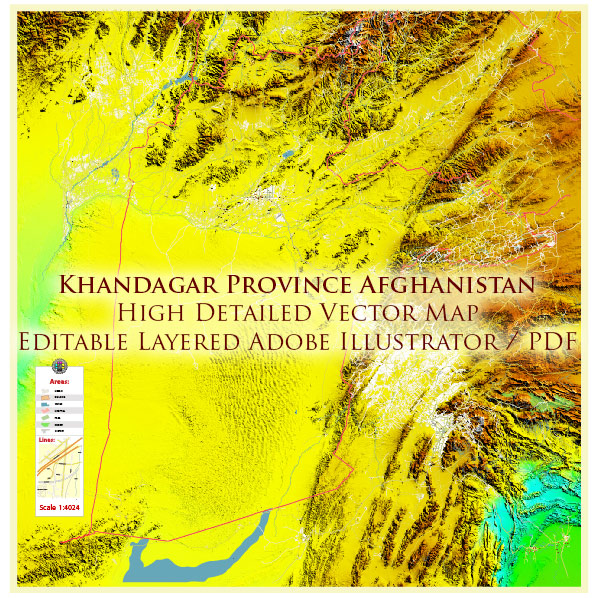
Kandahar, located in southern Afghanistan, has a rich and complex political history. Here is a brief overview of some key historical and political events in Kandahar’s history:
- Ancient History: Kandahar is one of the oldest cities in Afghanistan, with a history dating back thousands of years. It was an important center for trade, culture, and politics along the Silk Road.
- Durrani Empire: In the 18th century, Kandahar was a significant part of the Durrani Empire, founded by Ahmad Shah Durrani, also known as Ahmad Shah Abdali. He is considered the father of the modern Afghan state and established his capital in Kandahar.
- British Influence: During the 19th century, Kandahar was a focal point in the Great Game, a geopolitical competition between the British Empire and the Russian Empire for influence in Central Asia. The city was briefly under British control during this time.
- Post-Independence: Following Afghanistan’s independence from Britain in 1919, Kandahar remained a prominent city in the country. It continued to be a center of trade and culture.
- Soviet Invasion: In 1979, the Soviet Union invaded Afghanistan, leading to a prolonged conflict. Kandahar became a key battleground during this period, with intense fighting between Soviet forces and Afghan resistance fighters.
- Taliban Rule: In the 1990s, the Taliban, an Islamist militant group, gained control over Kandahar and most of Afghanistan. Kandahar was one of their strongholds. During this time, the city was under strict Sharia law, and cultural and social restrictions were imposed.
- U.S. Invasion: After the 9/11 attacks in 2001, the United States, along with its allies, invaded Afghanistan to remove the Taliban regime. Kandahar was a significant focus of military operations during this period.
- Post-Taliban Era: After the Taliban were ousted, Kandahar and the surrounding region faced challenges related to governance, security, and reconstruction. Various Afghan governments attempted to establish control and rebuild the city and its infrastructure.
- Taliban Resurgence: The Taliban gradually regrouped and regained control of parts of Kandahar and other regions in the years following their initial ouster. By 2021, the Taliban controlled significant portions of the city and its surroundings.
Political developments in Kandahar and Afghanistan as a whole may have evolved significantly since that time. It is advisable to consult up-to-date sources for the latest information on Kandahar’s political history and the broader political landscape in Afghanistan.


 Author: Kirill Shrayber, Ph.D. FRGS