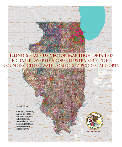
Illinois is not known for its national parks, but it is home to a few national historic sites and monuments. While these sites may not offer the traditional wilderness experience associated with national parks, they do provide valuable insights into American history and culture. Here are some notable national sites in Illinois:
- Lincoln Home National Historic Site: Located in Springfield, this site preserves the only home Abraham Lincoln ever owned. Visitors can tour the Lincoln family home and gain insight into the life of the 16th President of the United States. The visitor center features exhibits on Lincoln’s life and legacy.
- Pullman National Monument: Located in Chicago, the Pullman National Monument commemorates the Pullman Palace Car Company and the historic Pullman neighborhood. It explores the history of labor, urban planning, and the role of the Pullman company in the development of American rail travel.
- Illinois and Michigan Canal National Heritage Corridor: This is a national heritage area rather than a traditional national park. It covers a 97-mile corridor that follows the historic Illinois and Michigan Canal, which played a significant role in the industrial and transportation history of the region. Visitors can explore various towns, historic sites, and natural areas along the canal.
- Lewis and Clark National Historic Trail: While not exclusive to Illinois, this historic trail passes through the state. It commemorates the journey of the Lewis and Clark Expedition as they explored the western portion of the United States. Visitors can follow their route and learn about the expedition’s significance.
- George Rogers Clark National Historical Park: Located in Vincennes, Indiana, but associated with the Illinois territory, this park commemorates the capture of Fort Sackville by American forces led by George Rogers Clark during the American Revolution. The visitor center features exhibits and artifacts related to this important event.
While Illinois may not have the traditional national parks found in other states, these national historic sites and monuments offer a unique opportunity to explore the state’s history and cultural heritage. Additionally, Illinois boasts several state parks and natural areas that provide opportunities for outdoor recreation and enjoying the natural beauty of the region.


 Author: Kirill Shrayber, Ph.D. FRGS