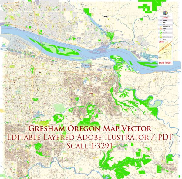
Gresham, Oregon, is home to several nature parks and recreational areas that offer beautiful outdoor experiences for residents and visitors alike. Here are some of the notable nature parks in and around Gresham:
- Gresham Butte Rumler Loop: This loop trail is a popular local spot for hiking and enjoying nature. It offers a scenic route through the forested hills and open meadows, providing opportunities for bird-watching and enjoying the Pacific Northwest’s lush greenery.
- Main City Park: Located in downtown Gresham, Main City Park offers a mix of outdoor activities, including sports fields, a playground, and walking paths. The park features tall trees and picnic areas, making it a great place for family outings.
- Gresham Fairview Trail: This multi-use trail stretches through Gresham and Fairview, offering a pedestrian and bicycle path for residents to enjoy outdoor activities. The trail is ideal for a leisurely walk or a bike ride and connects to various parks and recreational areas along its route.
- Powell Butte Nature Park: While technically in Portland, Powell Butte Nature Park is a short drive from Gresham and well worth the visit. This 611-acre park features a network of hiking and biking trails that lead to a summit with panoramic views of the Cascade Range, Mount Hood, and the city.
- Sandy River Delta Park: Located just east of Gresham, this park offers a unique blend of riparian and upland habitats. It’s a great place for bird-watching, hiking, and even horseback riding. The park’s trails provide access to the beautiful Sandy River, making it a serene destination for nature enthusiasts.
- Oxbow Regional Park: Situated on the Sandy River, Oxbow Regional Park is a bit further from Gresham but is worth the drive for those seeking a more secluded and wilder experience. It offers camping, hiking, and river access for fishing and swimming.
- Springwater Corridor: This multi-use trail stretches for many miles, connecting Gresham to the city of Portland. It follows an old rail line, providing a scenic route for walking, running, biking, and rollerblading. You can enjoy views of wetlands, forests, and the Johnson Creek.
These parks and natural areas offer a variety of outdoor experiences, from leisurely strolls in city parks to more adventurous hikes and nature exploration. Whether you’re a local resident or just passing through, Gresham’s nature parks provide a chance to connect with the natural beauty of the Pacific Northwest.


 Author: Kirill Shrayber, Ph.D. FRGS