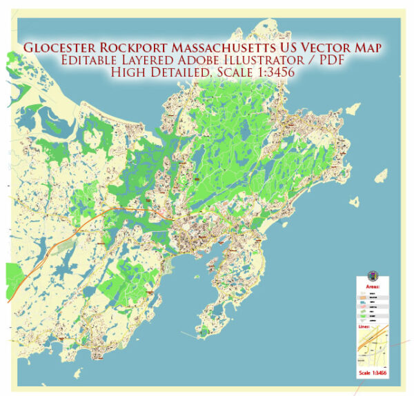
Gloucester and Rockport are two picturesque coastal towns located in the state of Massachusetts, United States. They are both situated on Cape Ann, which is a beautiful peninsula on the North Shore of Massachusetts. Here’s some information about each town:
Gloucester:
- Gloucester is a historic fishing town and one of the oldest settlements in the United States, founded in 1623. It’s known for its rich maritime heritage and is often referred to as “America’s Oldest Seaport.”
- The town is famous for its fishing industry, especially its lobster and cod fishing. The “Man at the Wheel” statue at the Gloucester Fishermen’s Memorial is an iconic symbol of the town.
- Gloucester boasts scenic coastal landscapes, rocky shores, and beautiful beaches. Good Harbor Beach is one of the most popular beaches in the area.
- The town also has a vibrant arts community, with numerous galleries and cultural events throughout the year.
- Gloucester is a popular tourist destination, offering visitors opportunities for boating, fishing, and enjoying fresh seafood at local restaurants.
Rockport:
- Rockport is a charming coastal town located adjacent to Gloucester. It’s known for its picturesque beauty, with its quaint New England architecture, scenic harbors, and artist’s studios.
- Motif No. 1, a small red fishing shack located in Rockport’s harbor, is often called “the most often-painted building in America” and is a famous subject for artists and photographers.
- The town has a thriving arts and crafts scene, with many galleries and shops selling handmade goods.
- Rockport features several beautiful beaches, including Long Beach and Front Beach, which are popular for swimming and relaxation.
- Bearskin Neck is a historic area in Rockport with a cluster of shops, restaurants, and art galleries, making it a popular destination for tourists.
Both Gloucester and Rockport offer visitors a taste of quintessential New England coastal life with their stunning landscapes, rich maritime history, and artistic communities. They are popular destinations for day trips or longer getaways for those seeking natural beauty and cultural experiences.


 Author: Kirill Shrayber, Ph.D.